Learning from Poulati

Info
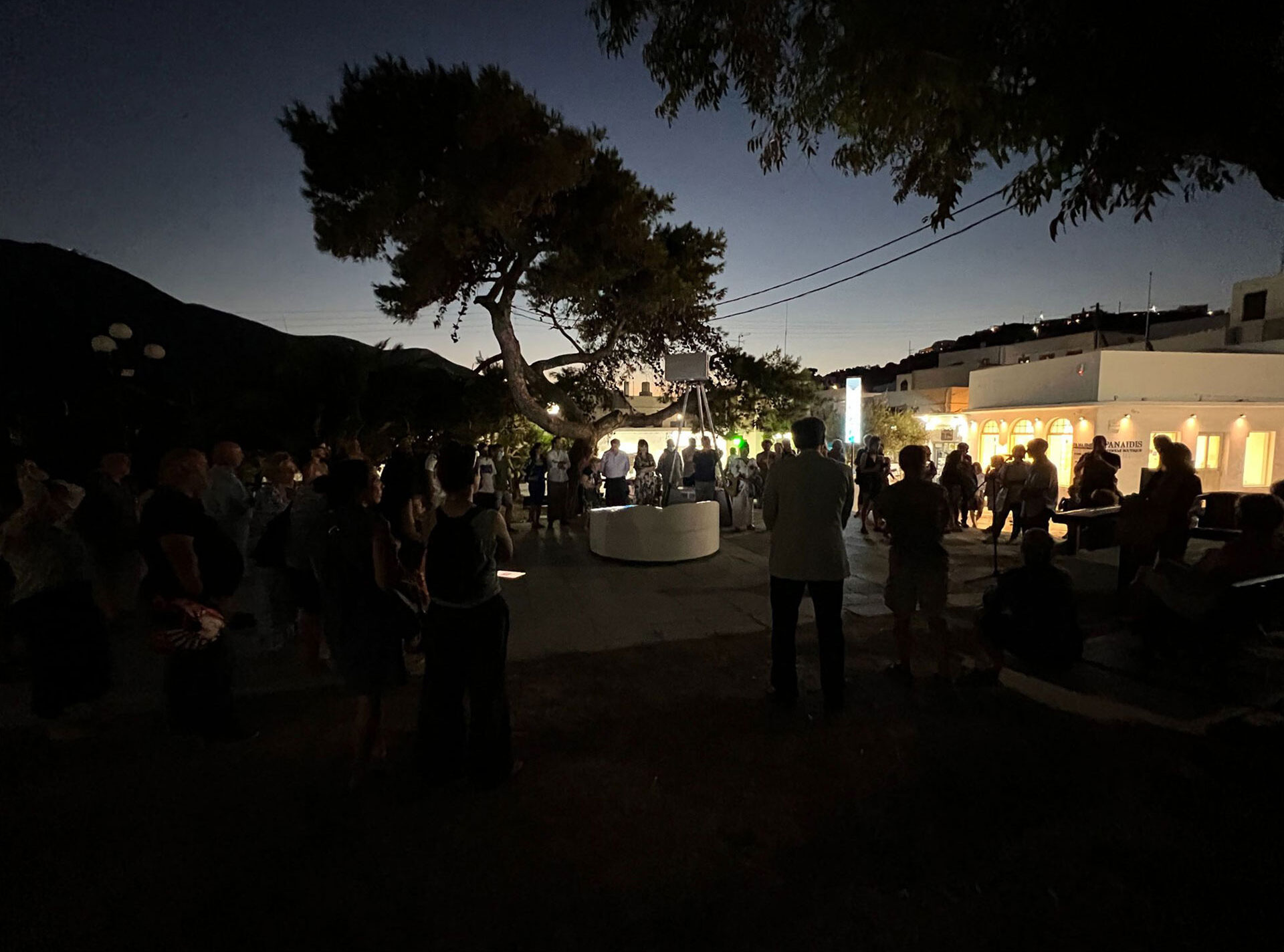
‘Learning from Poulati’ is an installation in two parts, placed on the central square of Appolonia, the largest settlement on Sifnos, from July 23rd to September 5th 2022.
The installation is about water: The traditional water management methods of Poulati in the past and the stresses that the island’s water supply is experiencing in the present.
During the last twenty years, our architectural practice has taken us to most of the Cyclades where we have experienced firsthand how water is one of the most fragile and mismanaged resources on the arid island landscapes. We have understood that the current trend of touristic development is going faster than the bearing capacity of the islands. This realization has had an important influence on our design priorities, and it has also triggered our curiosity to research contemporary and traditional practices of water management.
In 2019 we visited the area of Poulati on Sifnos a few times, intrigued by the water-management infrastructure and traditions of the area. Our plans to continue our research were postponed due to the pandemic.
Learning for Poulati is part of the S.T.A.R.T.S 4water consortium, an initiative of the European Commission. Ten residencies, in different locations of the European Union, were announced in June 2021, asking artists to engage with subjects related to water. Learning From Poulati was chosen for the location of Sifnos among 42 submissions.
This Artwork is realized by DECA Architecture. Commissioned by Ohi Pezoume Performing Arts Company, Non-Profit Organisation with the support of the Greek Ministry of Culture and the STARTS program of the European Union.
Credits


Where is Poulati?
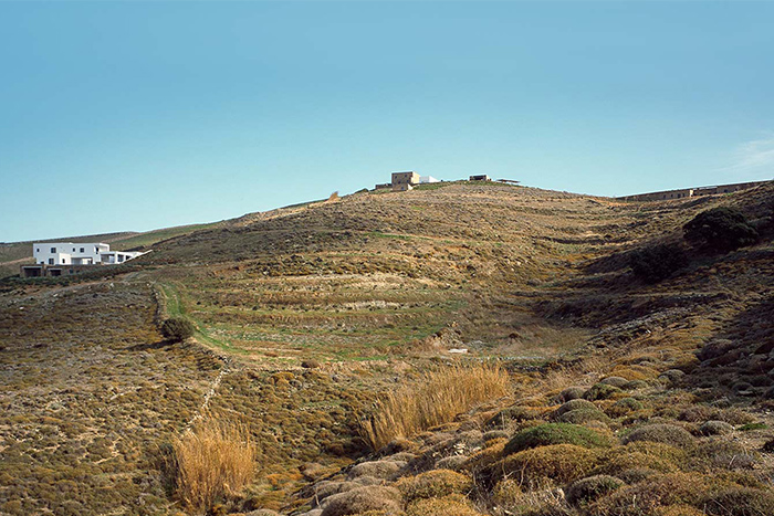
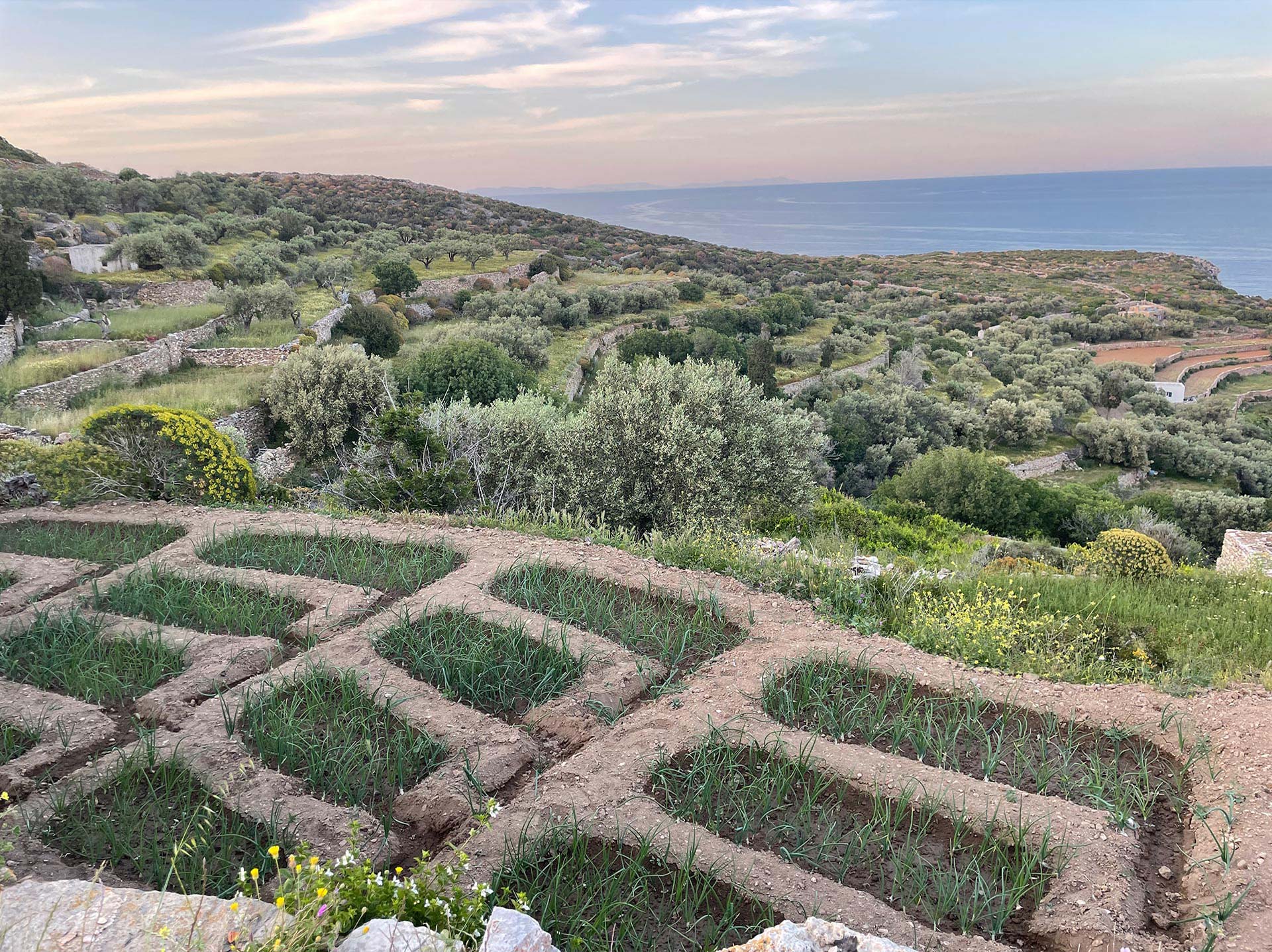
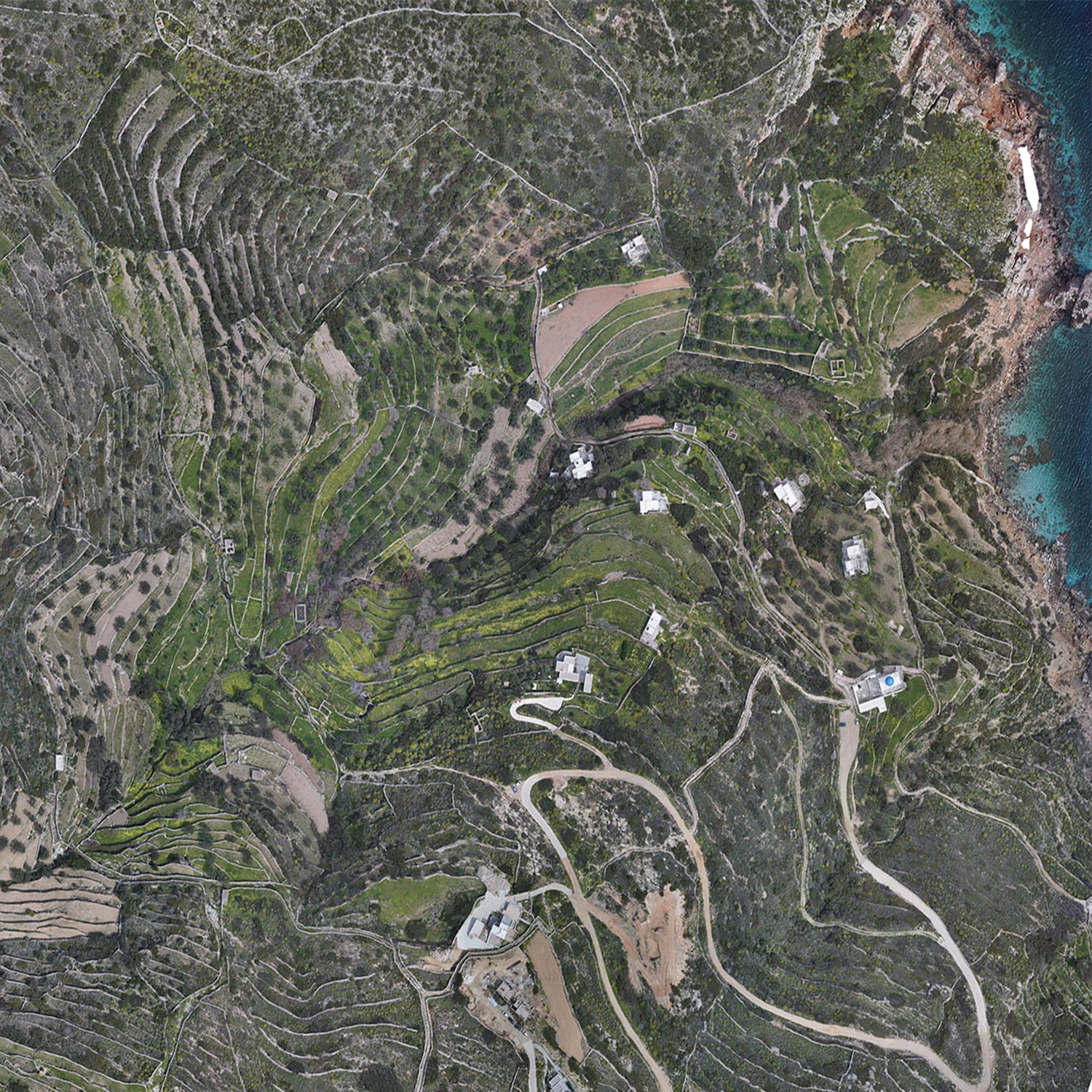
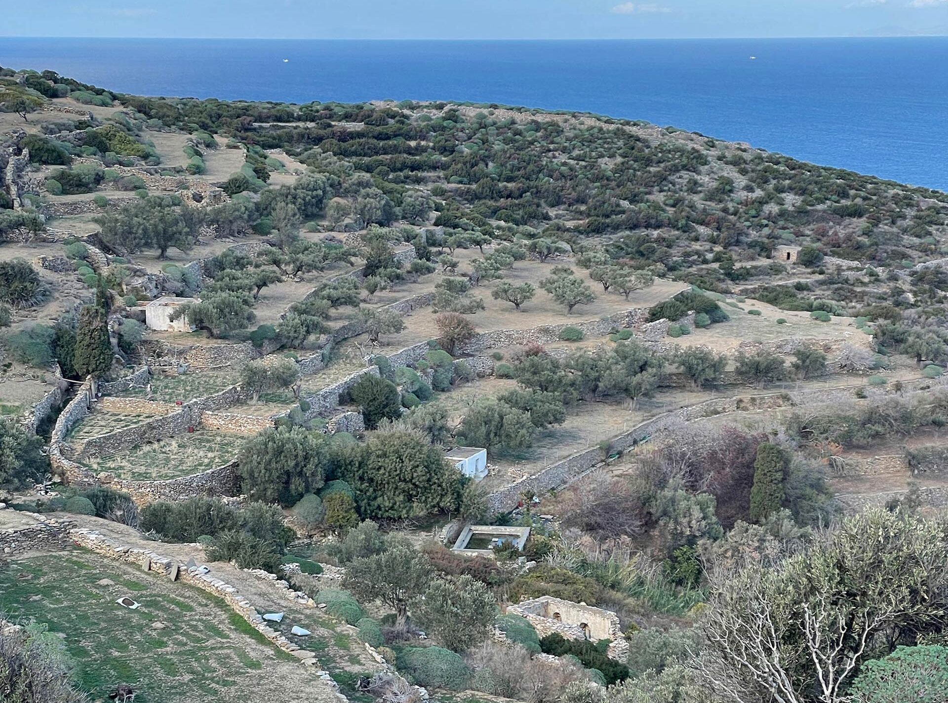
Poulati is a territory that starts on the outskirts of Artemonas, the second largest settlement on Sifnos, and ends at the Northwestern coast of the island. It enjoys an abundance of water, that emerges through at least nine springs. It is otherwise known as ‘ο κήπος’ -the garden- because of its fertility. In the recent past, at least 100 farmers, used to work the land. Today only a handful are active. (google map)


Why are we interested in Poulati?
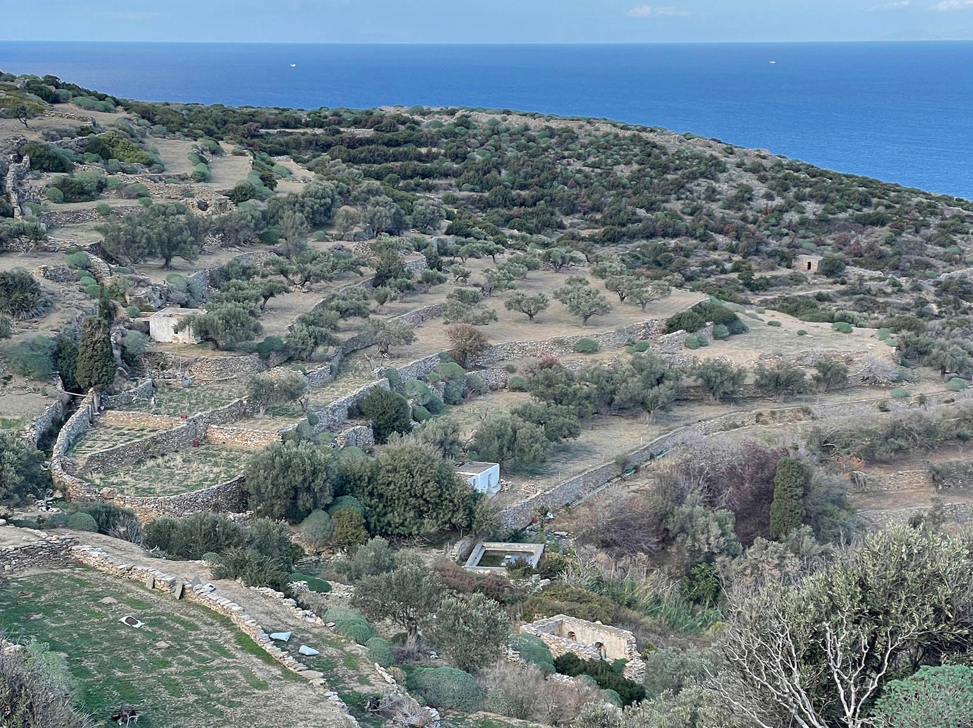
The landscapes of the Cycladic island are transforming rapidly. For many centuries they were dedicated mainly to agricultural uses. In the last 50 years the agricultural uses are gradually being replaced by touristic ones.
The agricultural infrastructure, that defines both the aesthetic qualities of the landscapes and the health of the soil, is no longer being maintained. It will dissolve into the earth in the next generation or two.
Learning from Poulati looks towards the past, in an effort to document an important piece of vernacular tradition which is about to disappear.
‘Learning from Poulati also looks at the present, to express the urgent need for new sustainable strategies and infrastucture, to fulfill the increasing water needs of the islands.
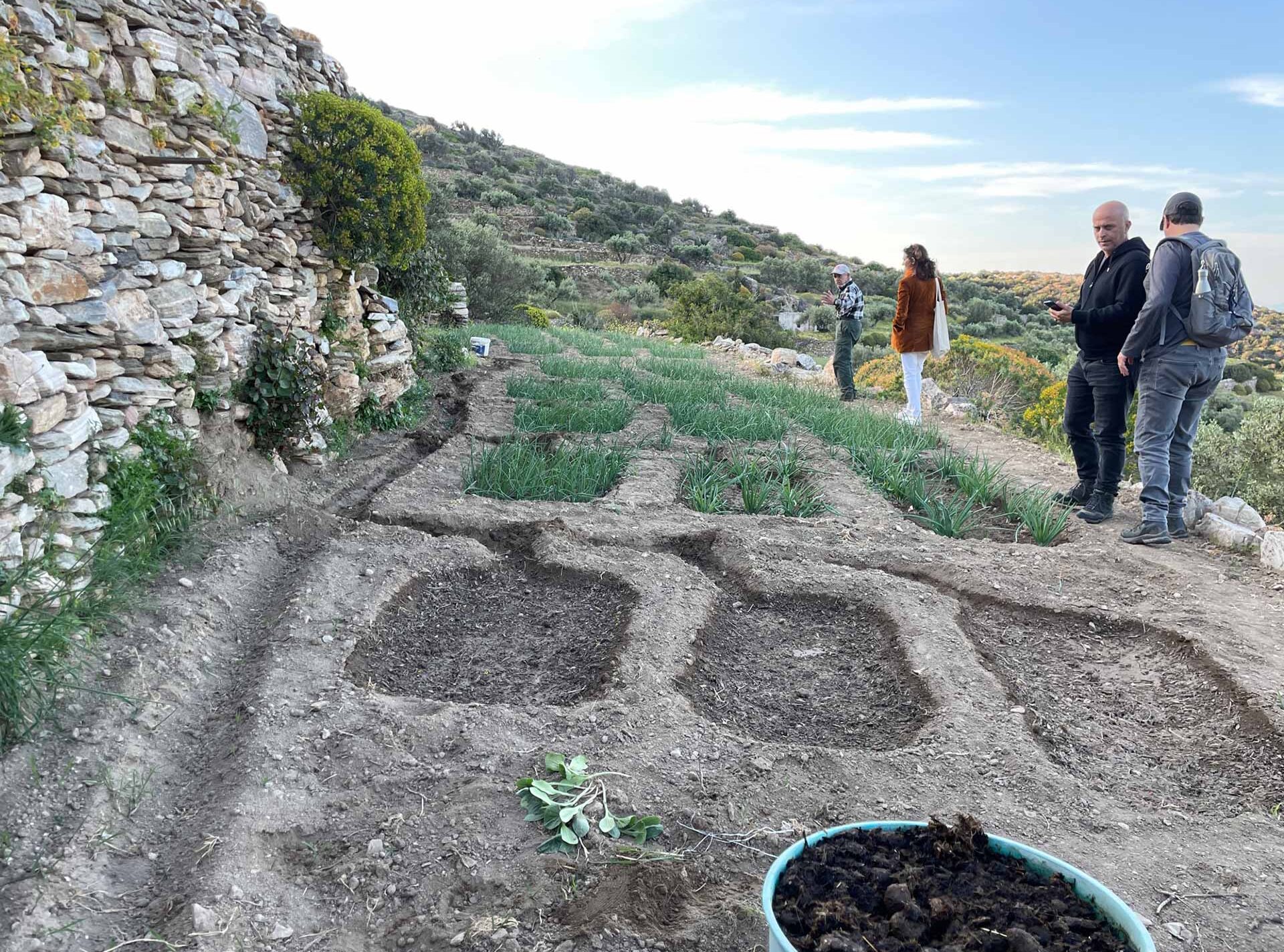
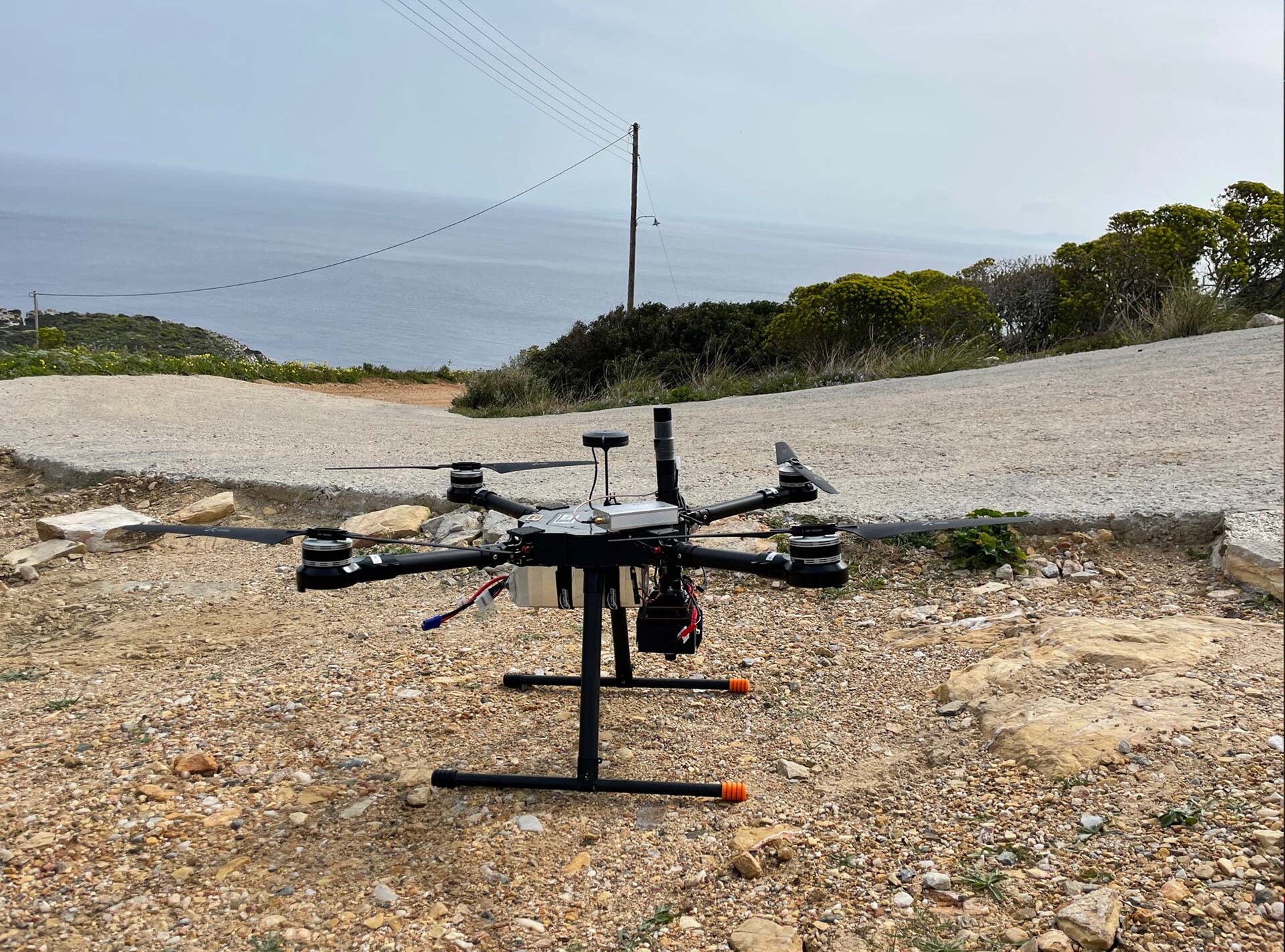
Fieldwork

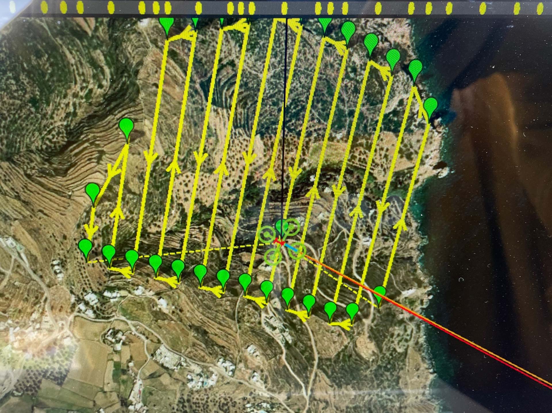

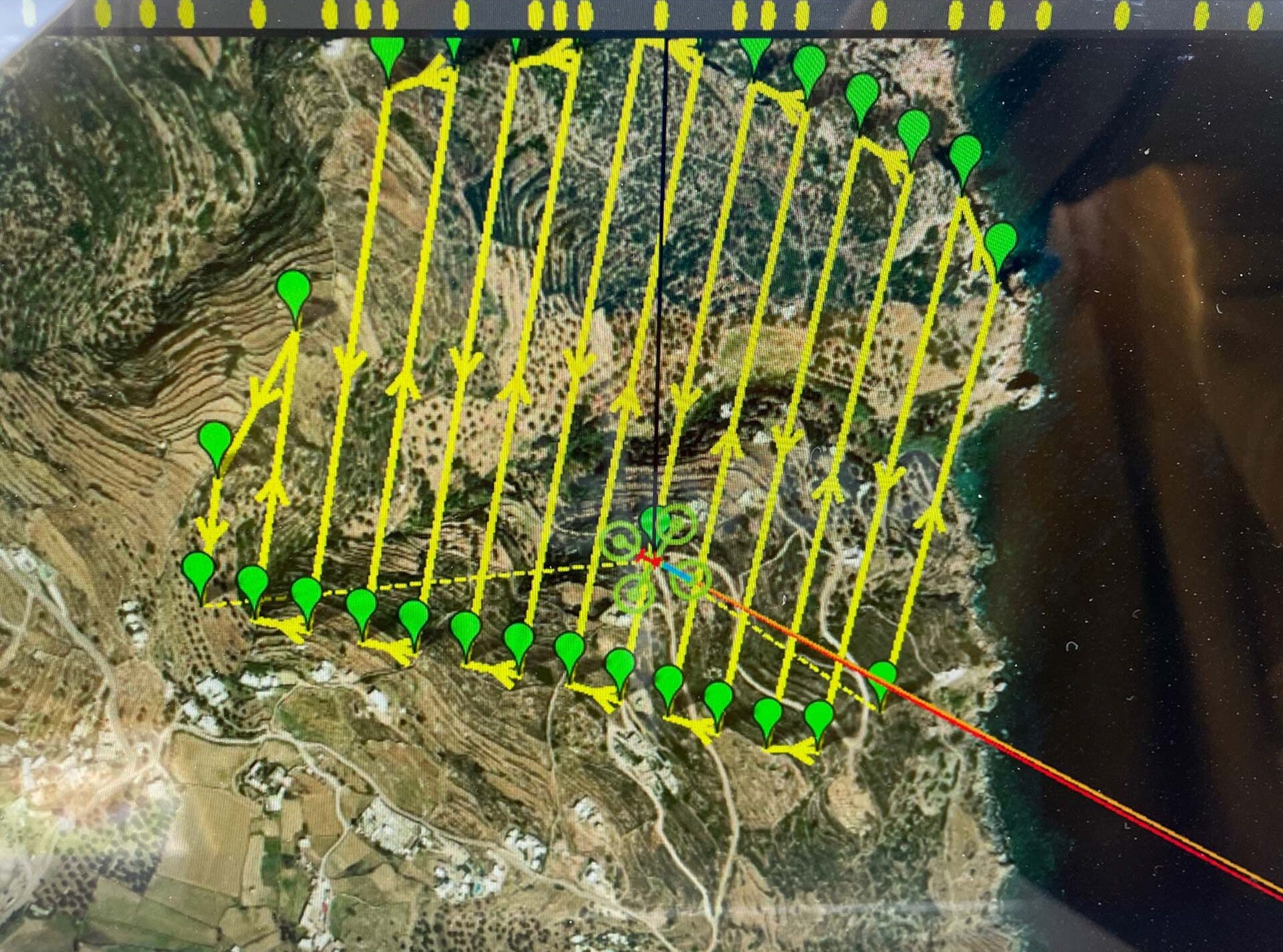
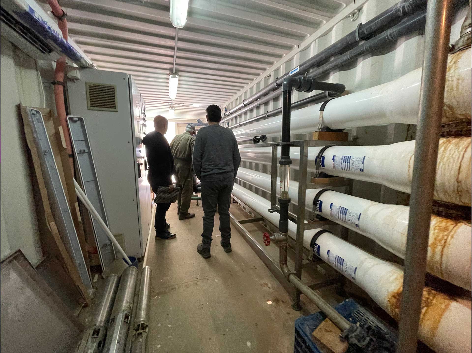
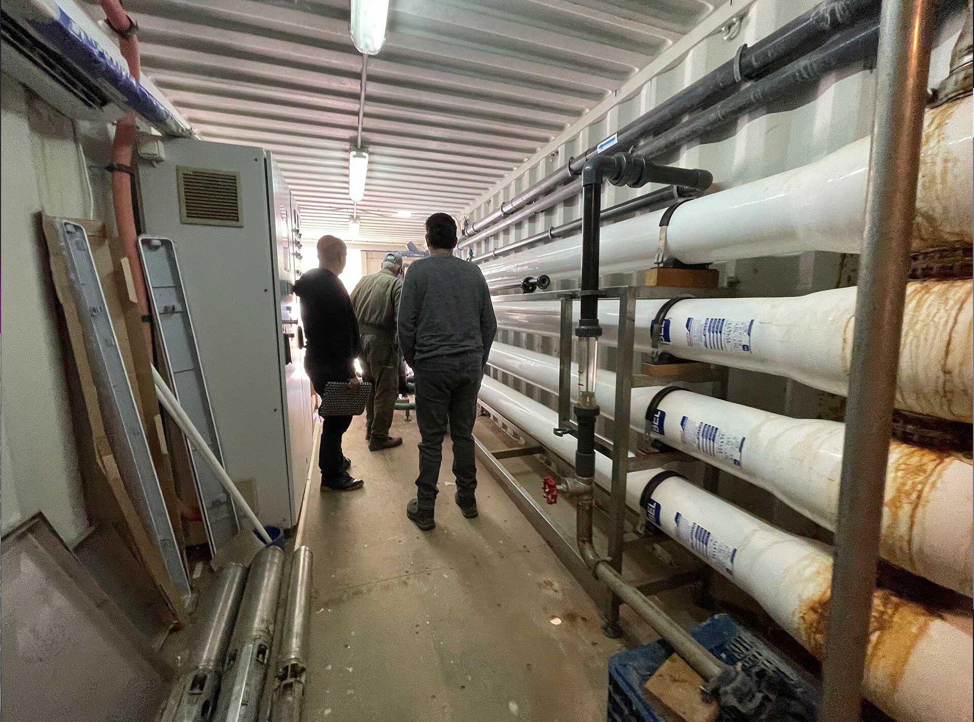
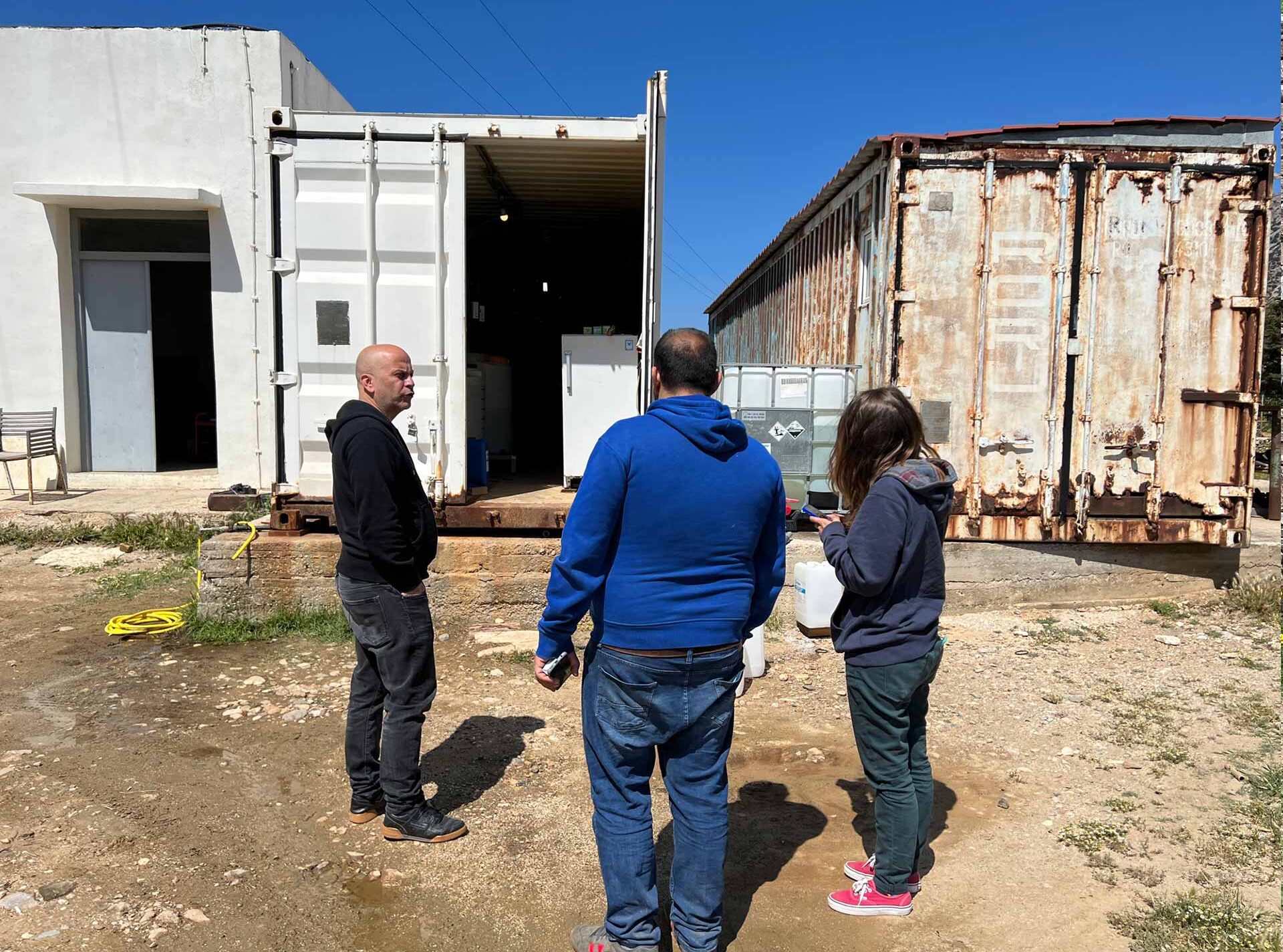
Municipal Water Infrastructure

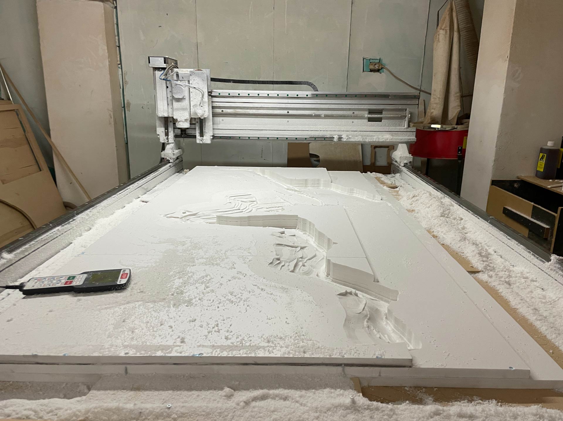
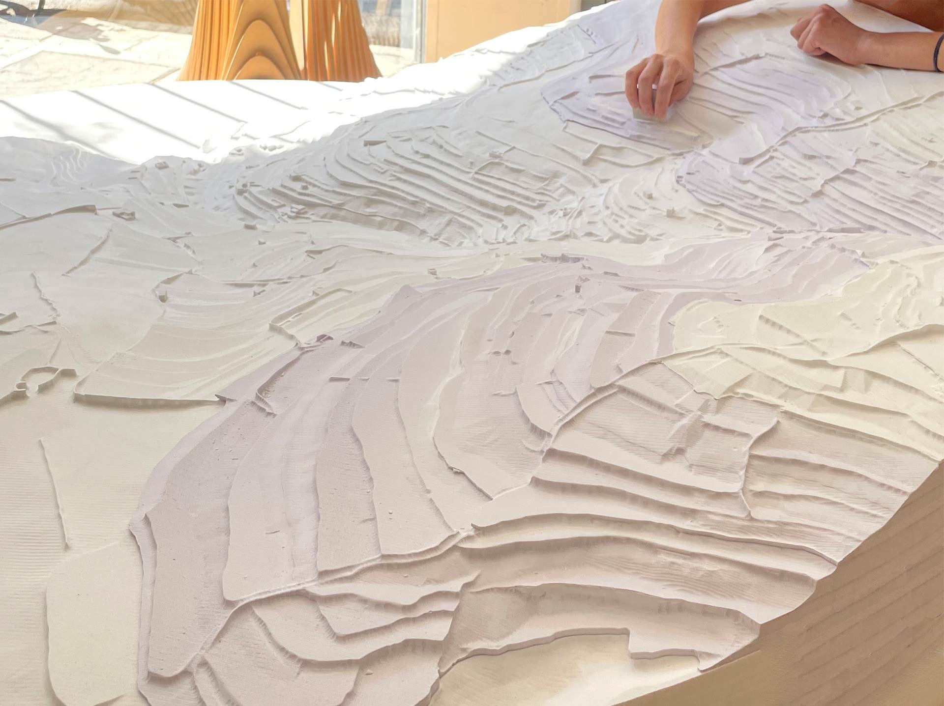
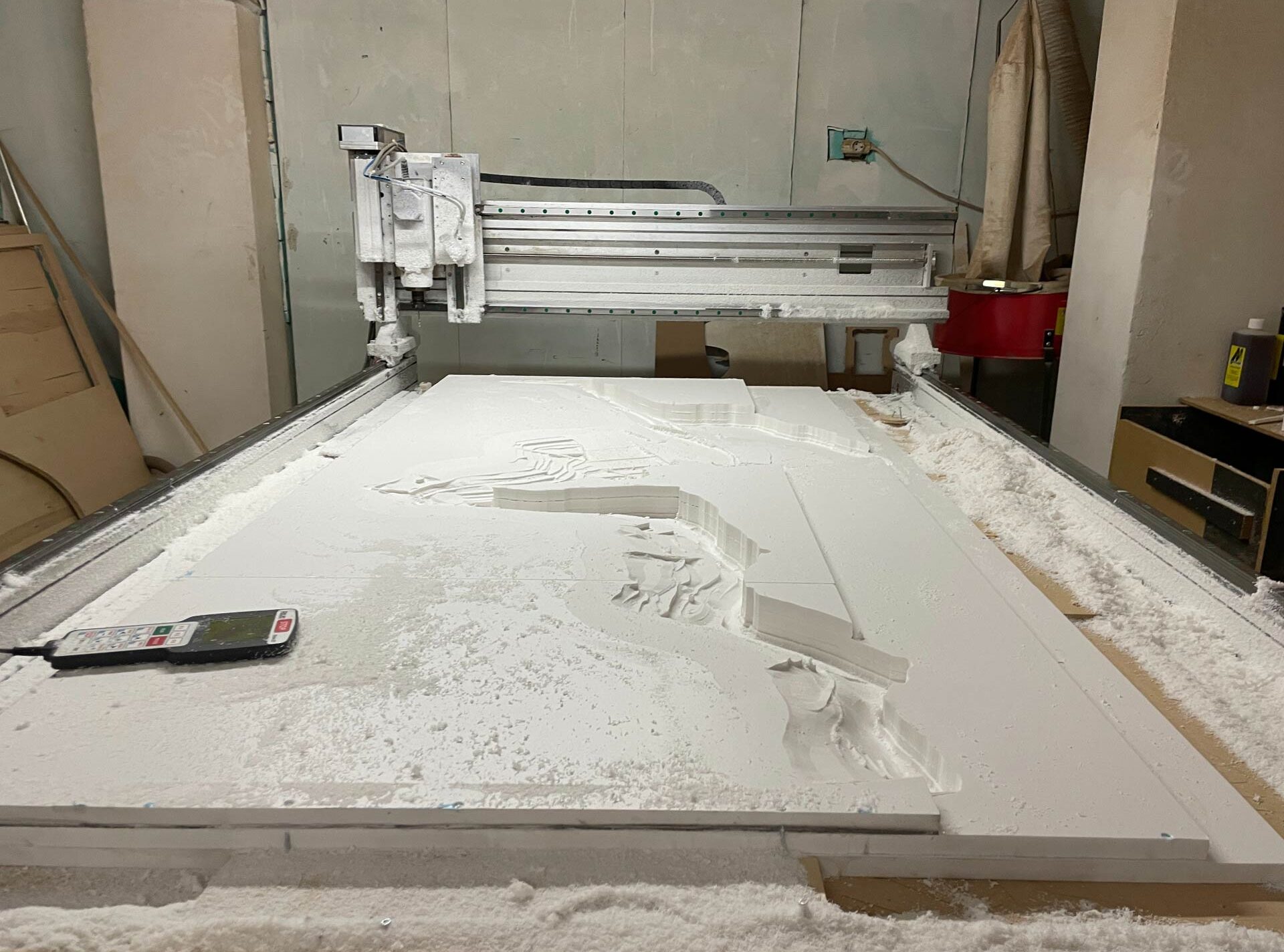
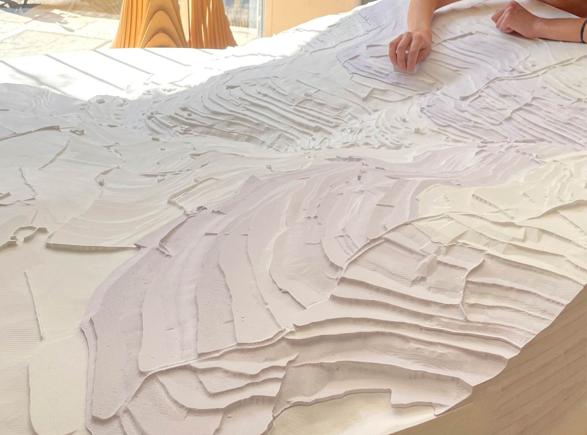
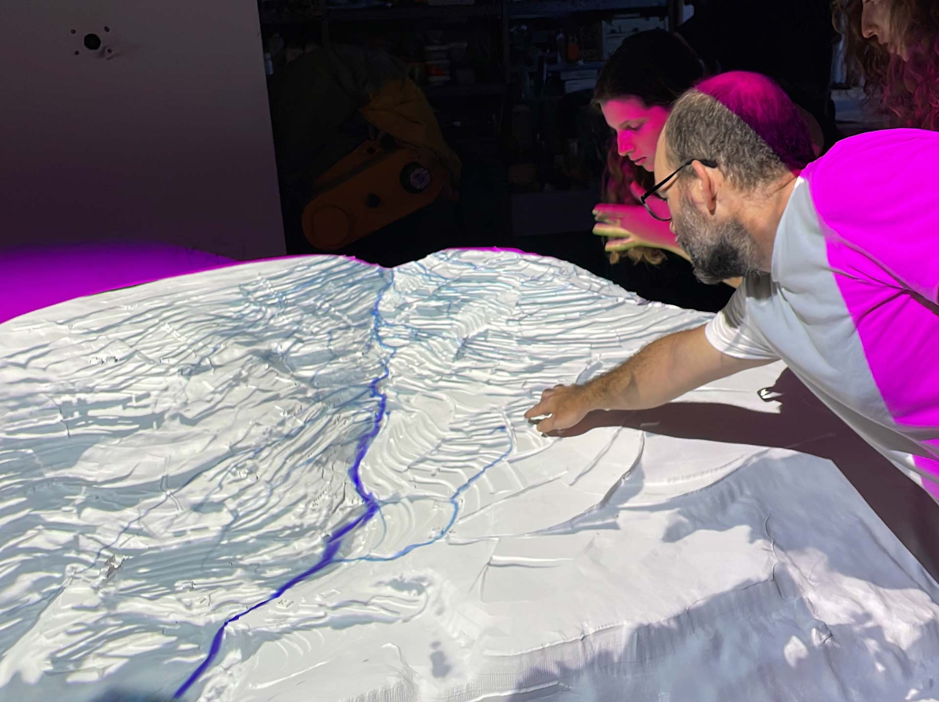
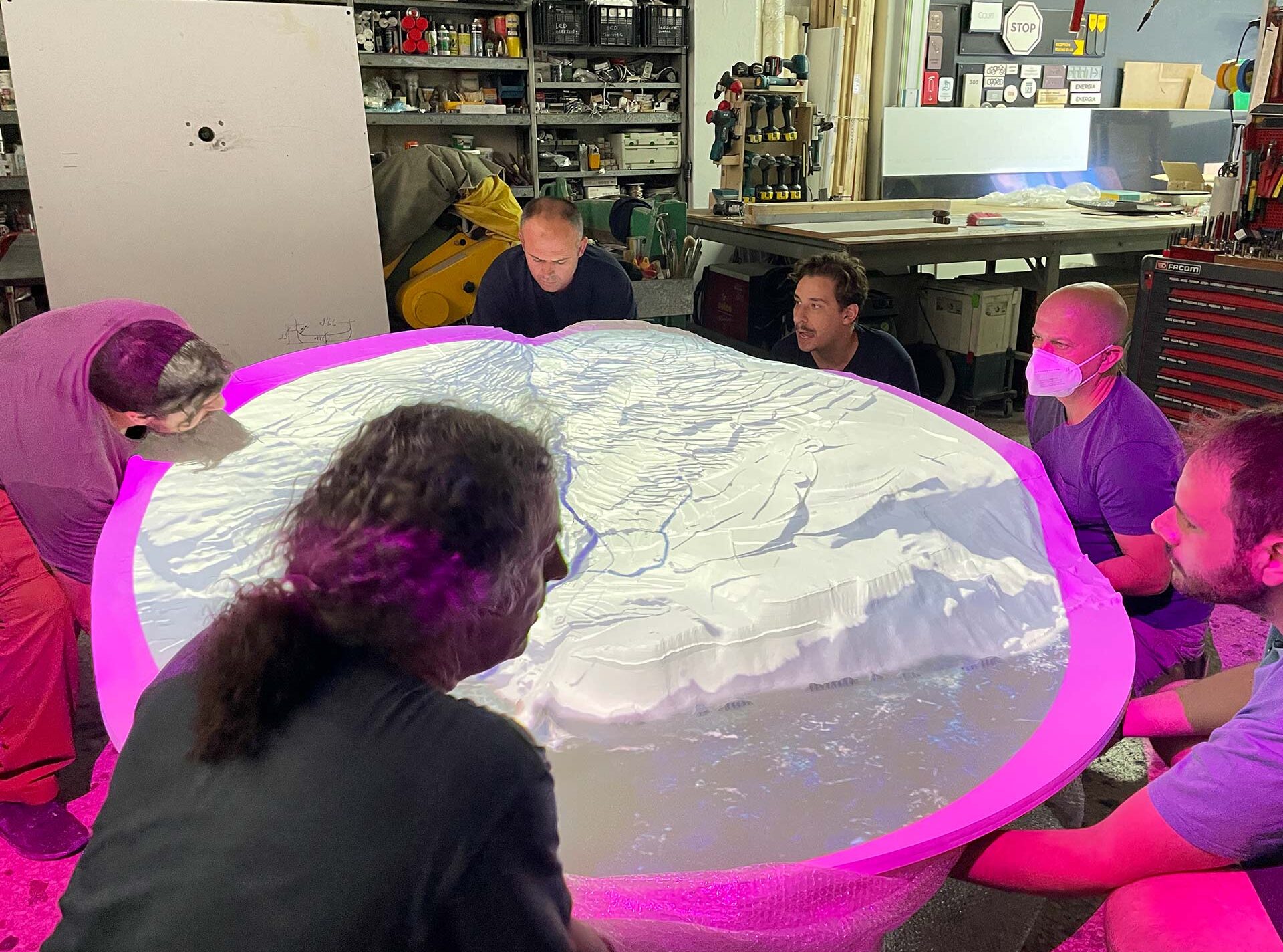
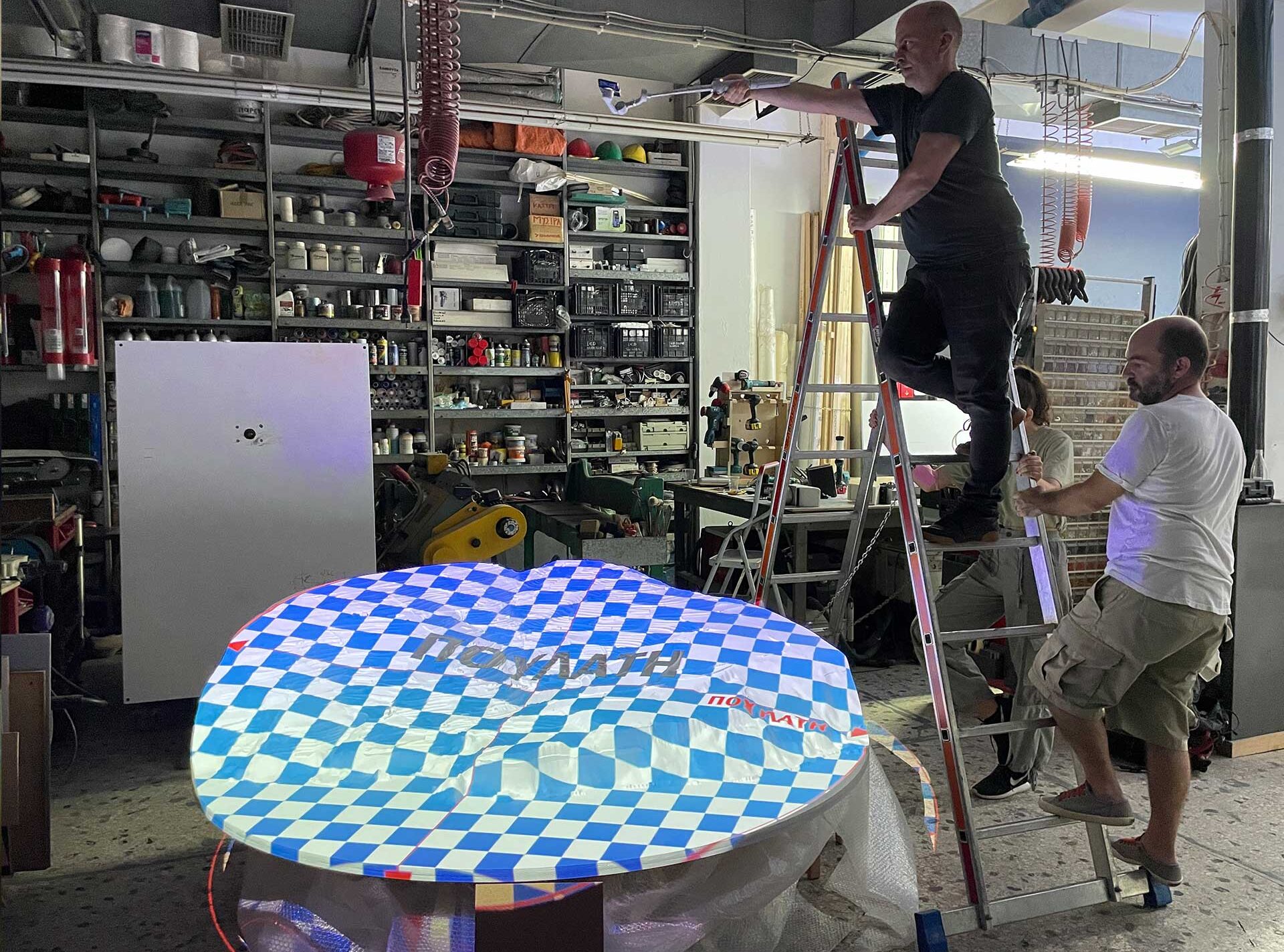
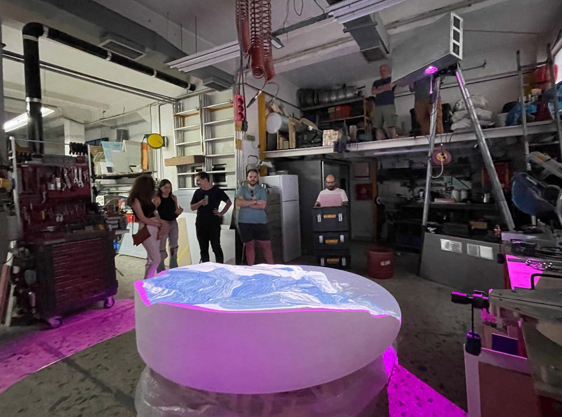
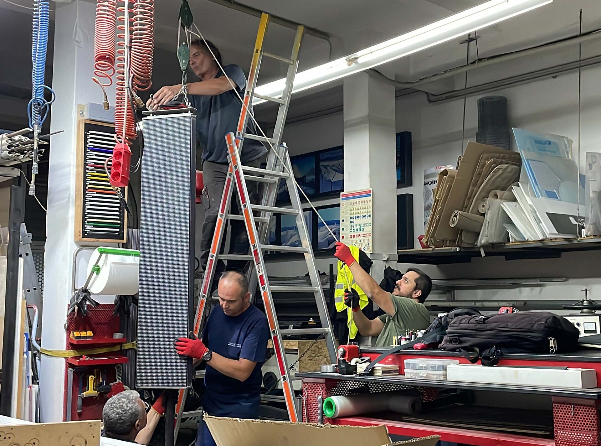
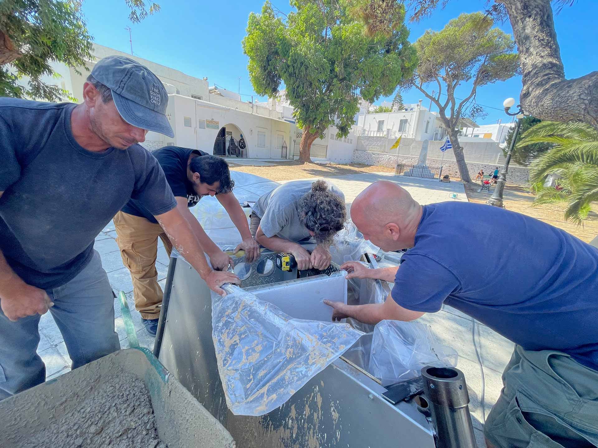
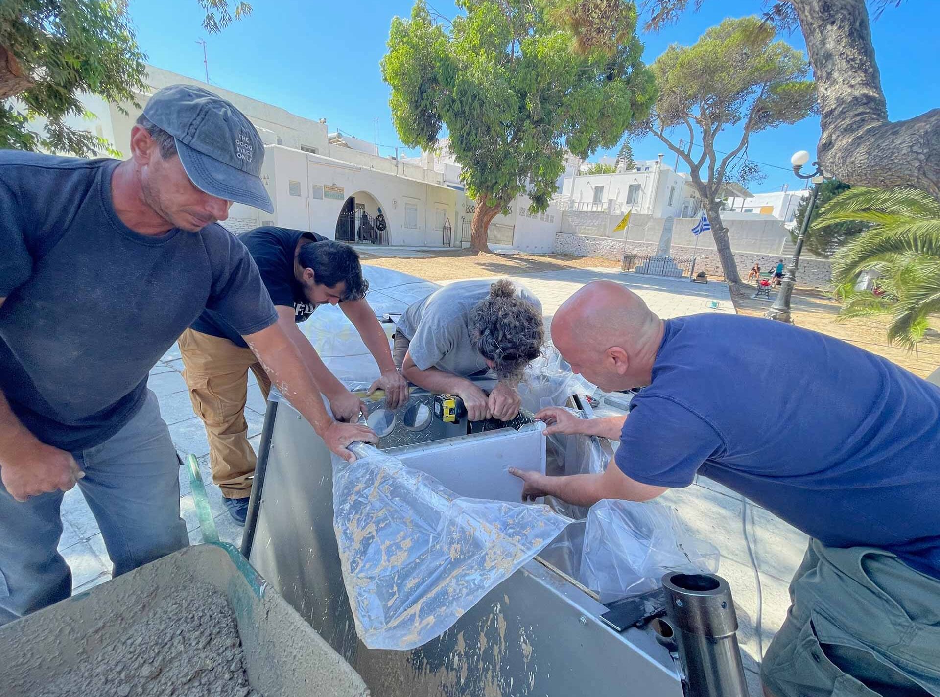
Fabrication
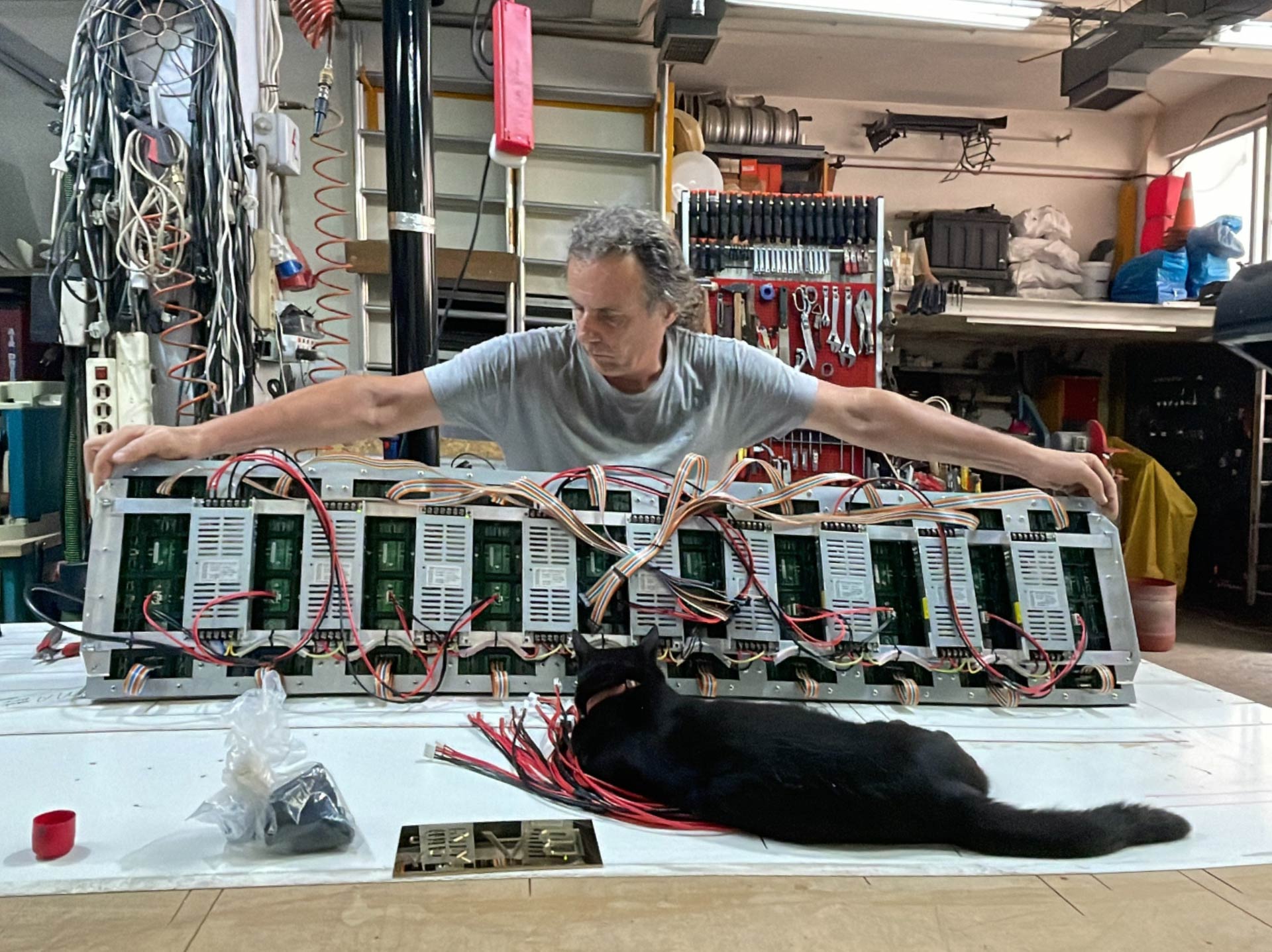

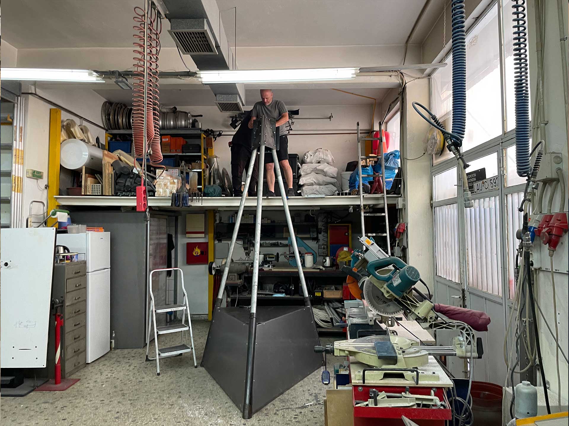


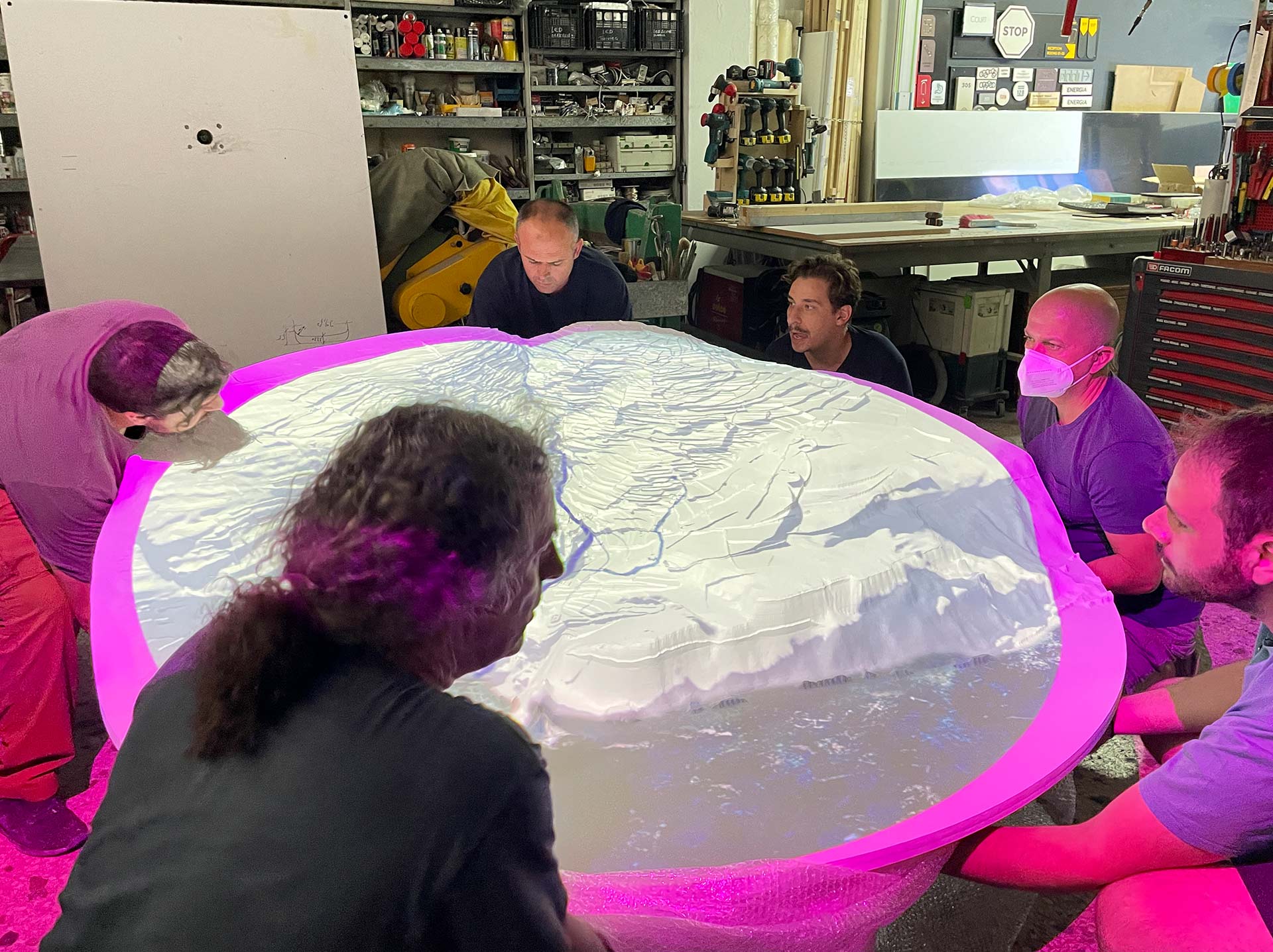
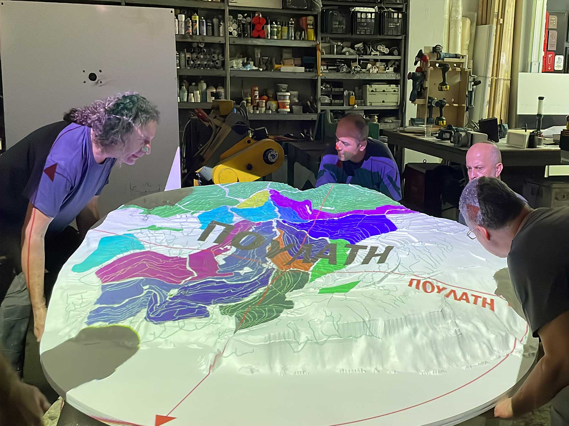
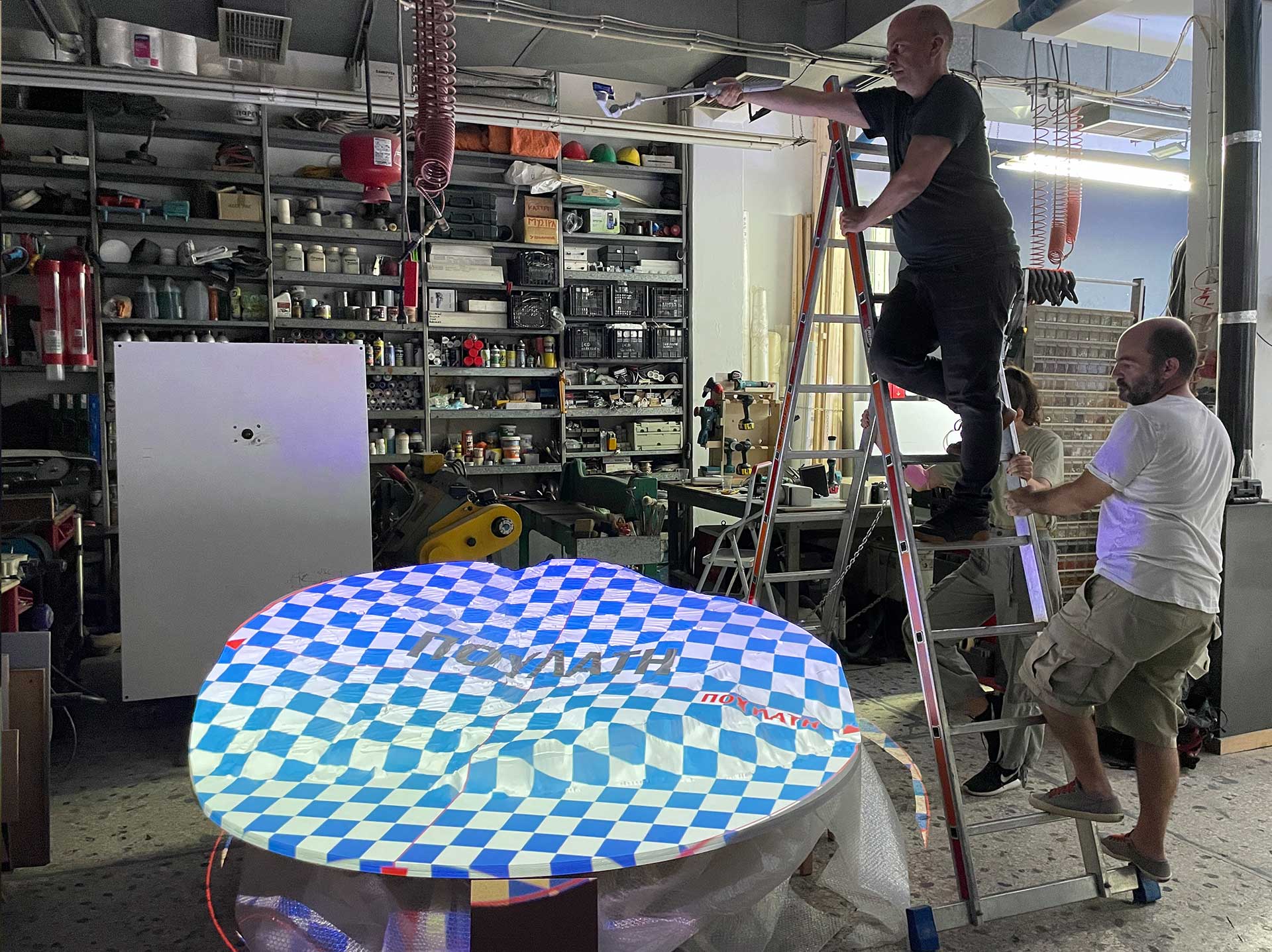
Installation in Workshop


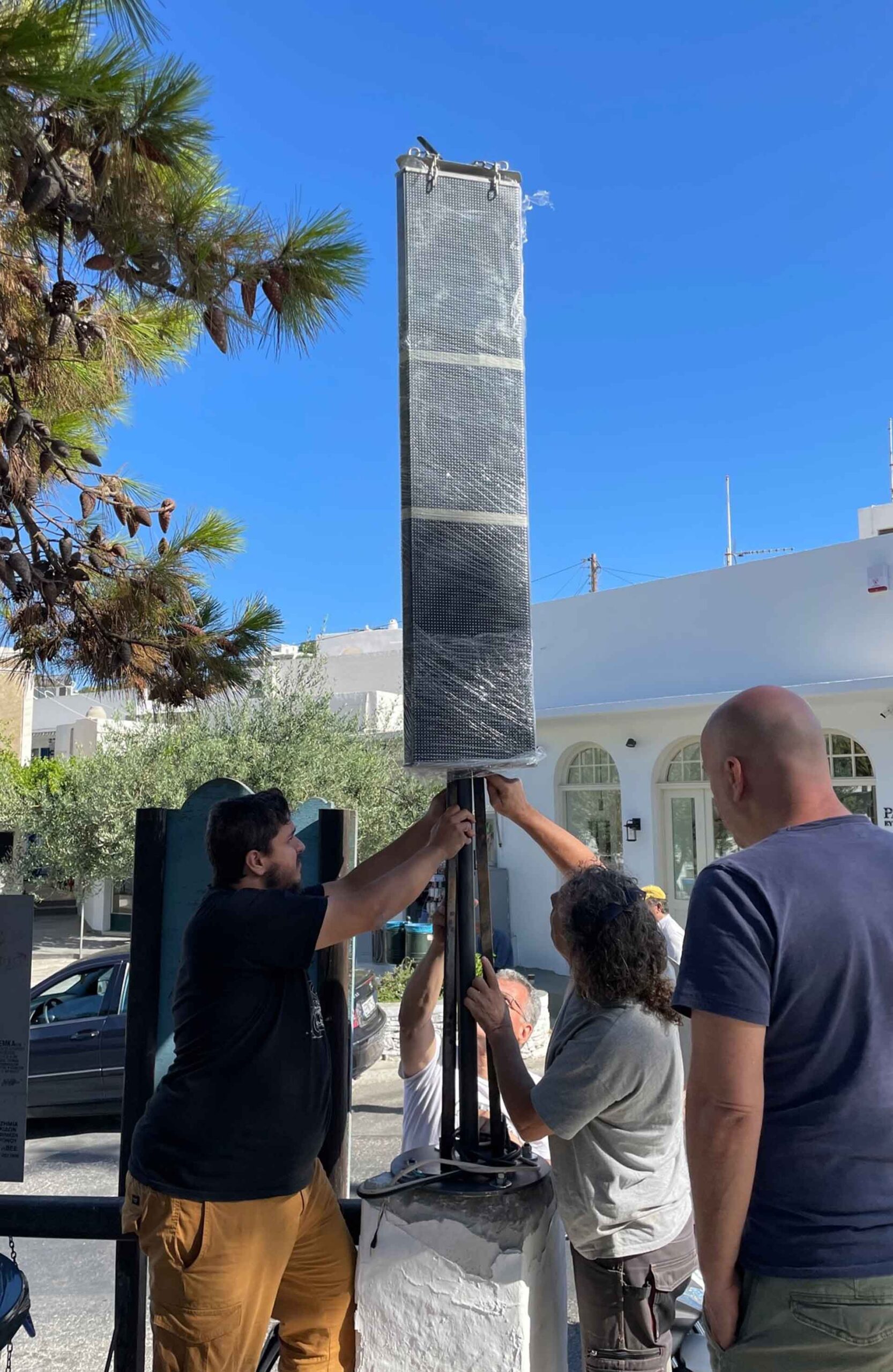
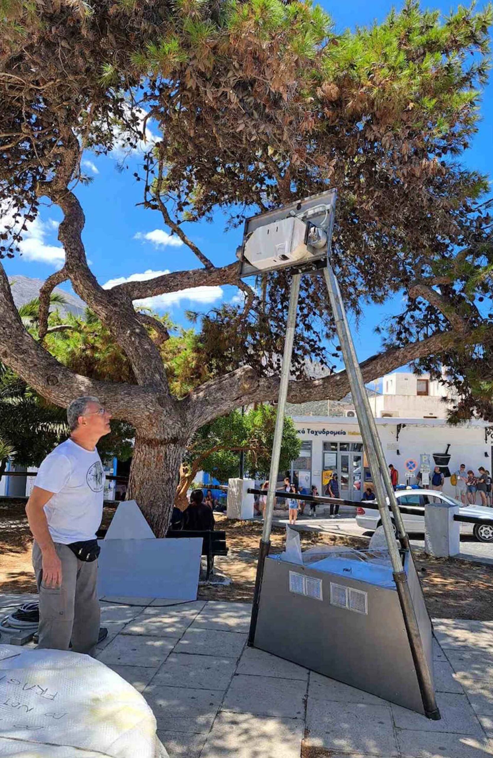
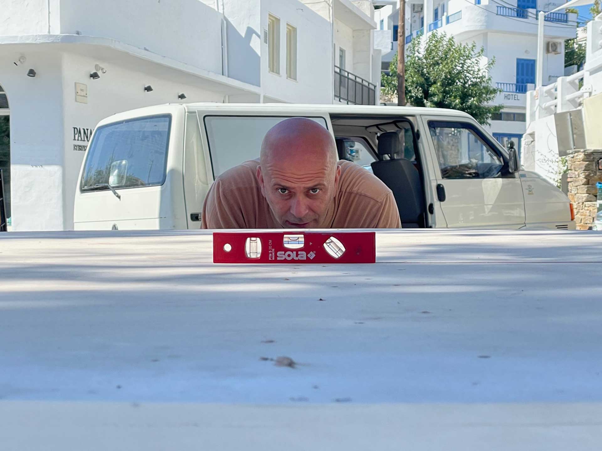
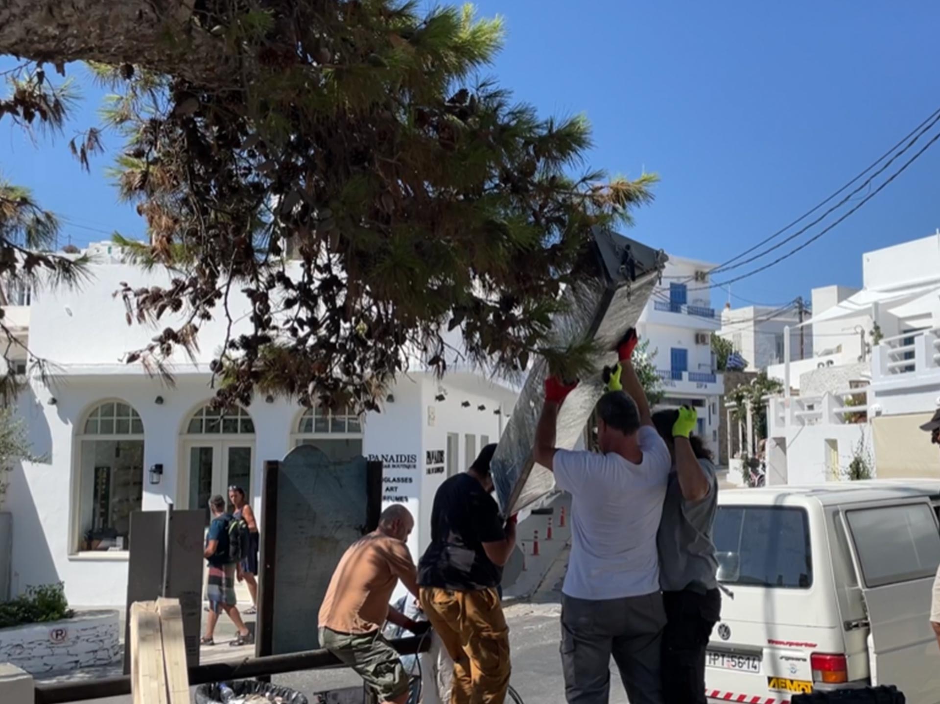
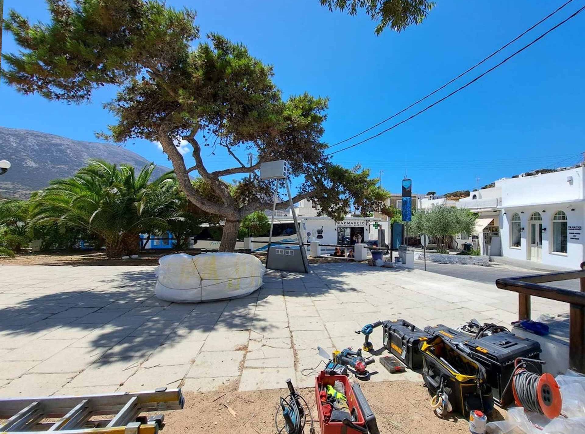
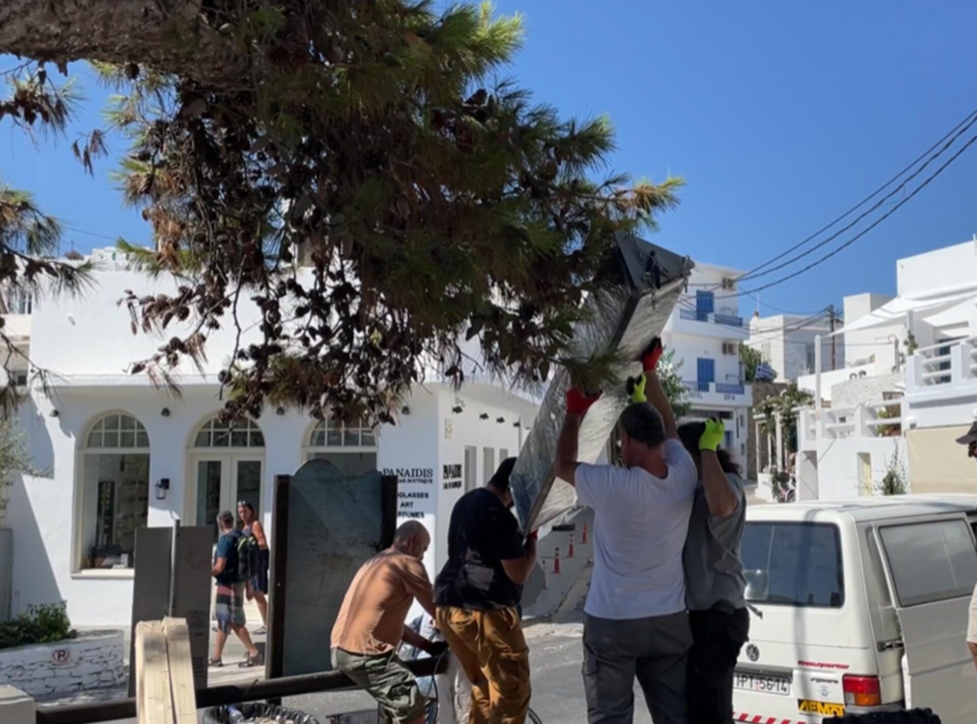
Installation on Site

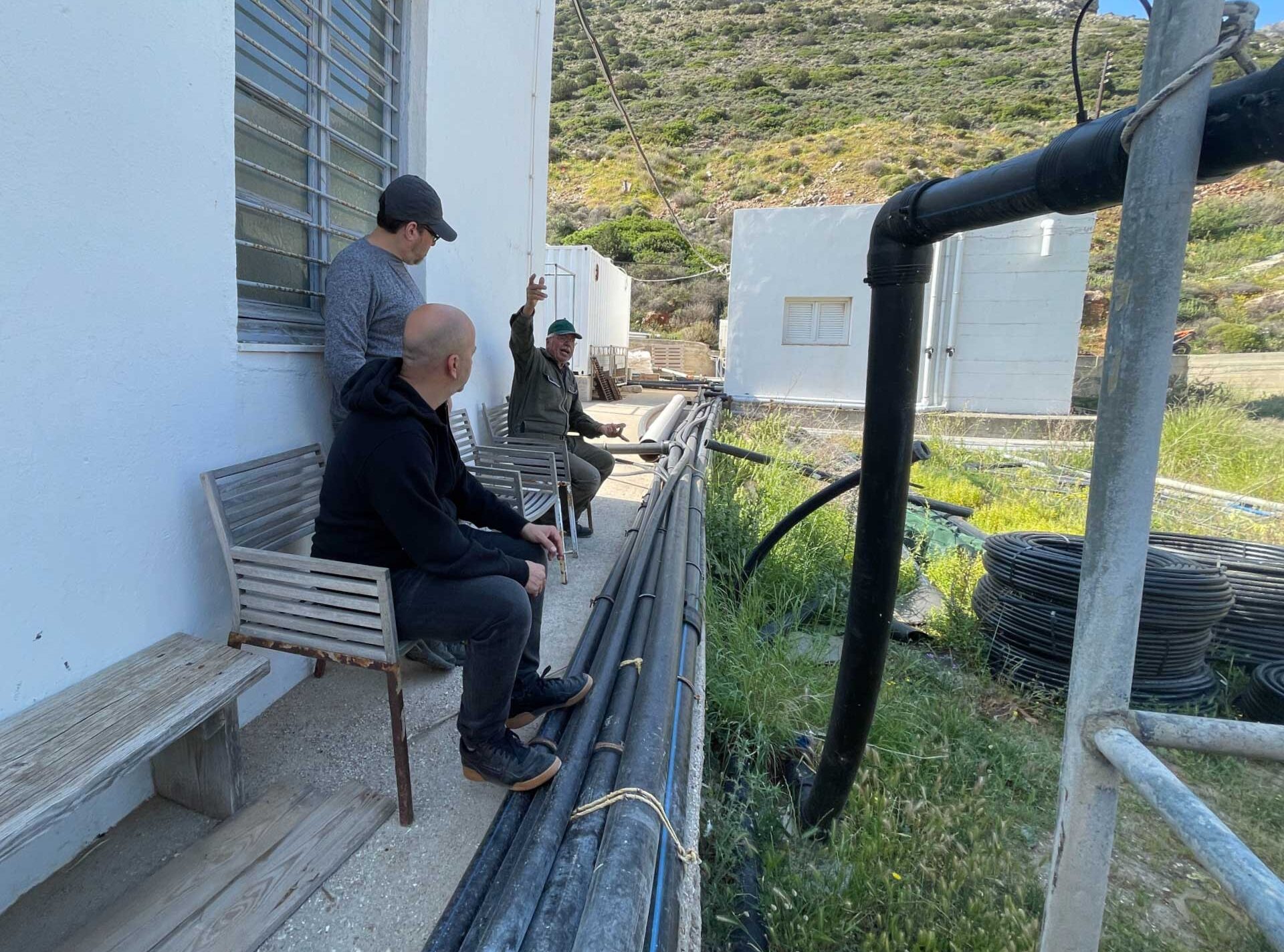
The Sifnos Water infrastructure story
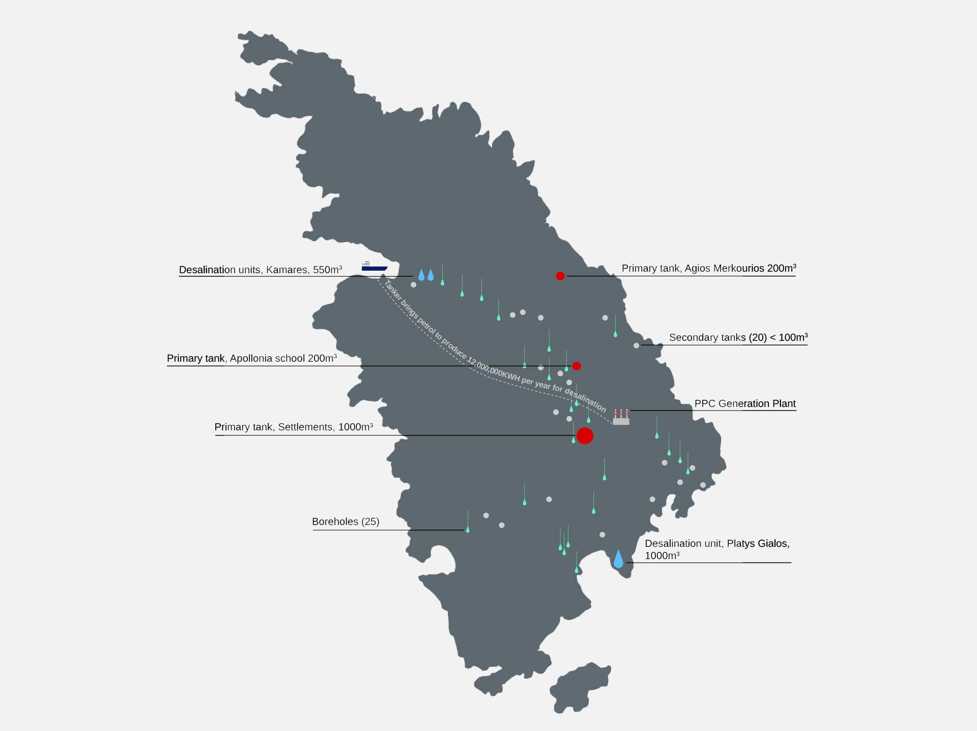
The two large problems of the dessalination in Sifnos
1. Energy
The current water production infrastructure of the island has significant environmental impact for two reasons:
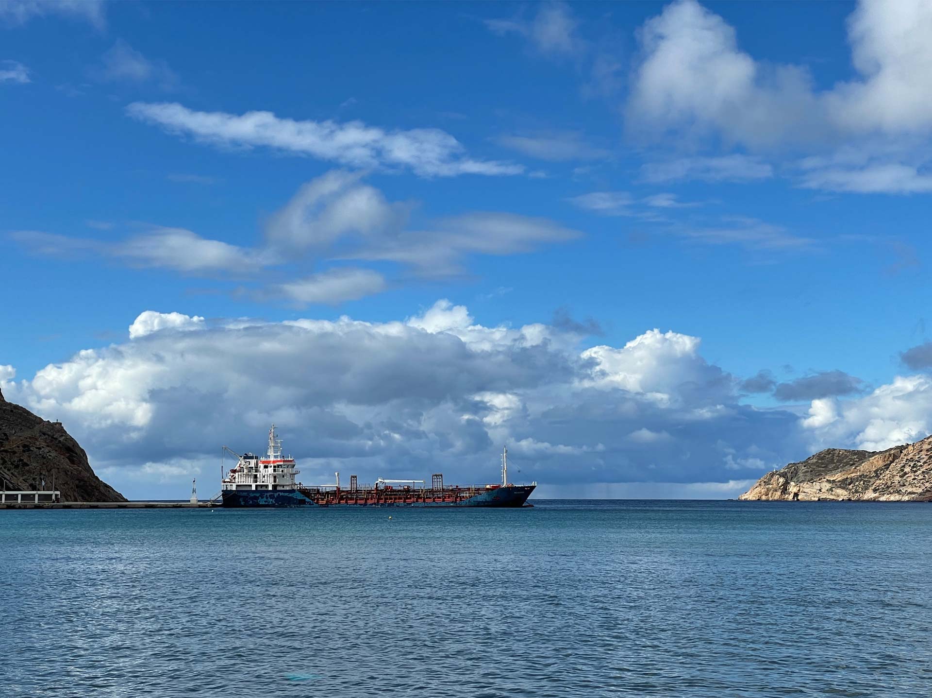
The desalination plants consume an exuberant amount of energy. The energy is provided by the electricity plant of the island that is petrol based! A tanker brings petrol to feed the electricity plant year round. Installing renewable energy sources to cover the needs of the water production should become a priority for the island.
2. Waste
The waste from the descalination units, is currently being handled in an non sustainable way. Brine, the white waste that results from desalination process, has extremely high salinity. It should be released in the open water, in depths that are over 30 meters. It is currently being released next to the descalination plants. This will soon provoke irreversible negative affects to the local ecosystems and the aquifer.
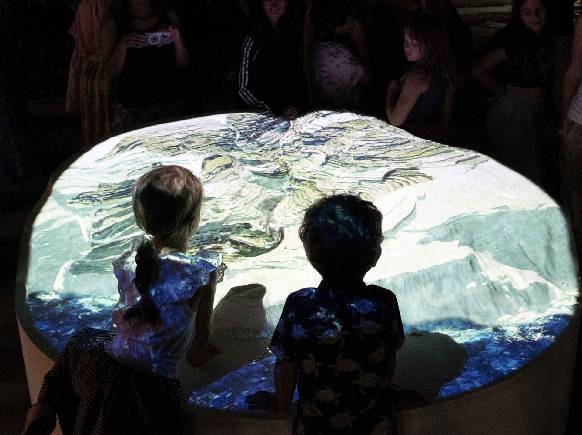
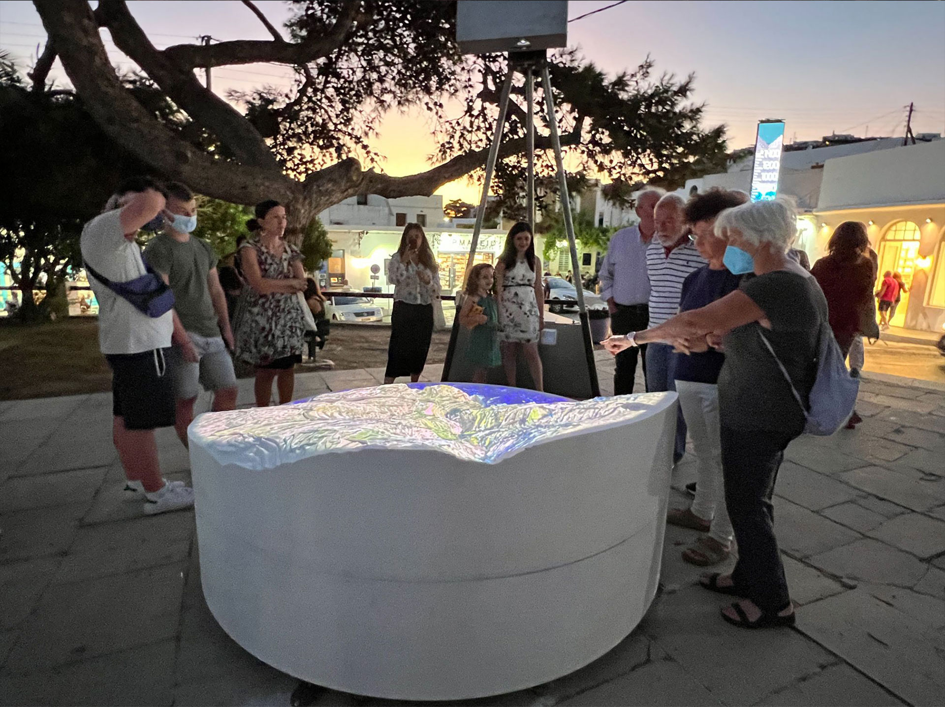
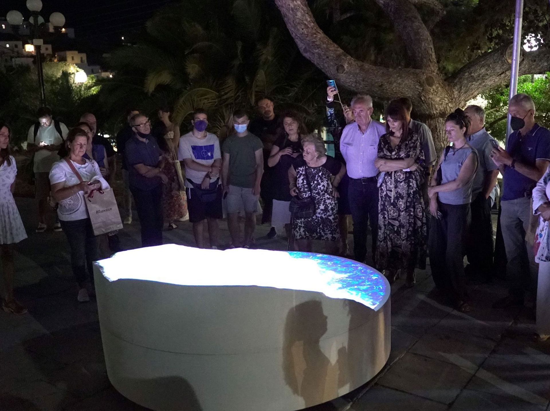
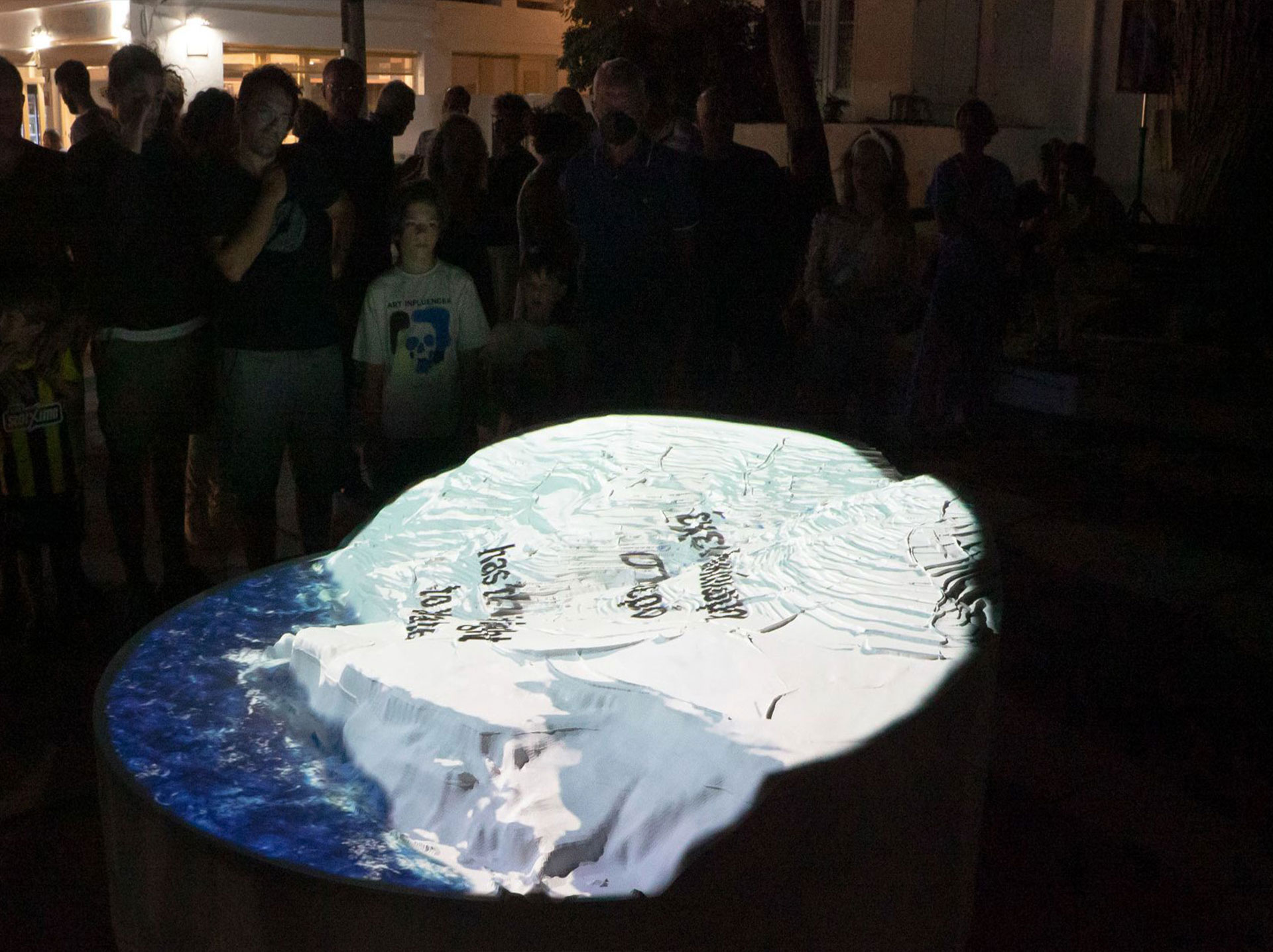
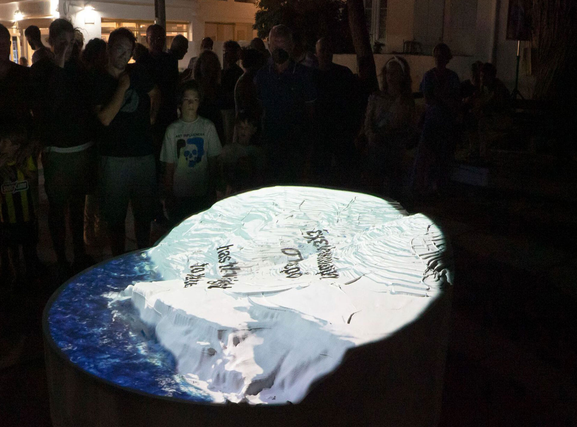
The installation: Part 1
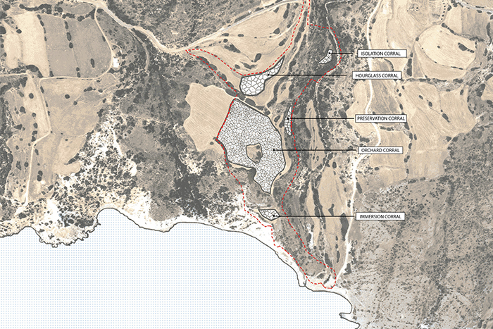
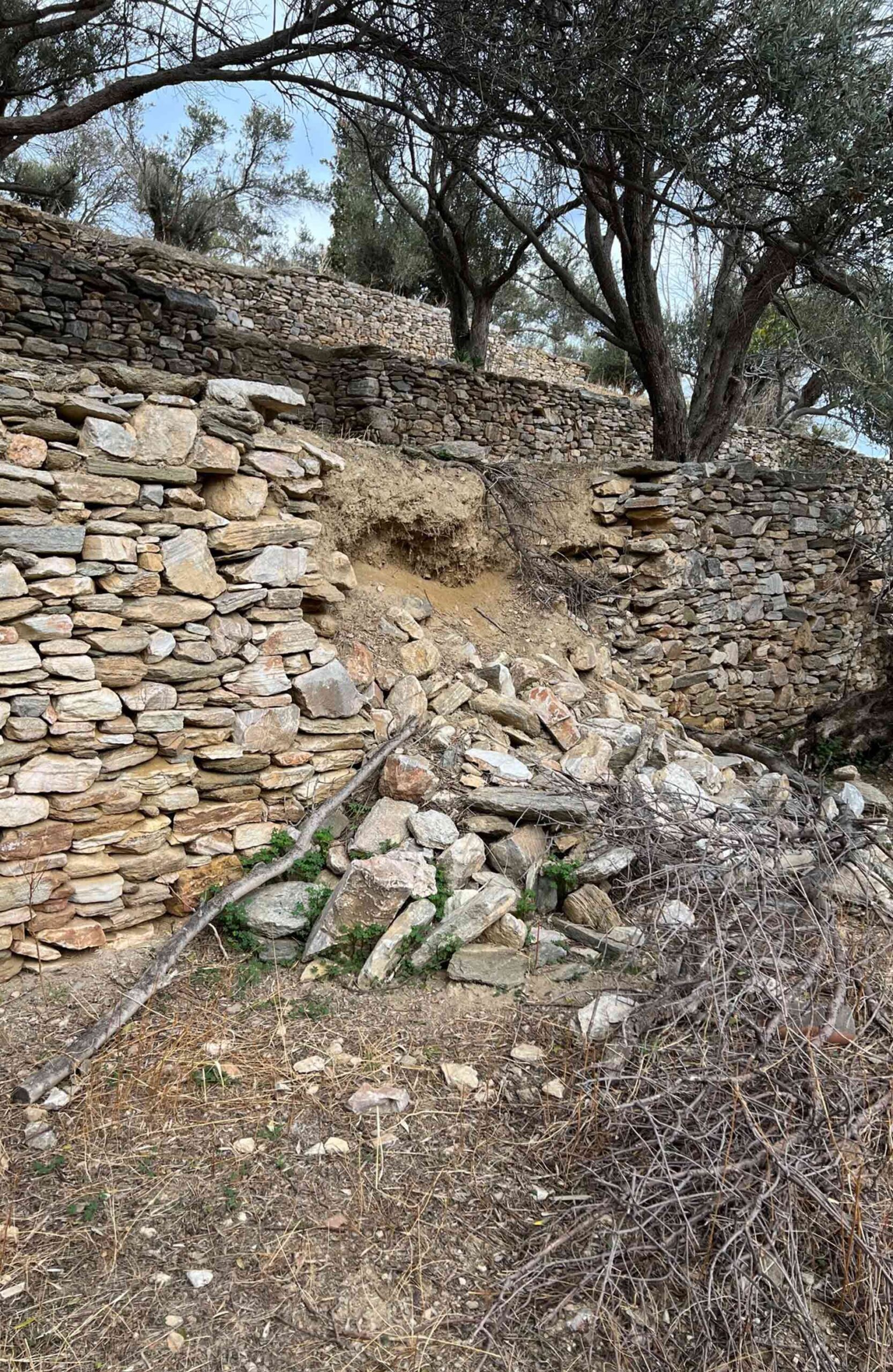
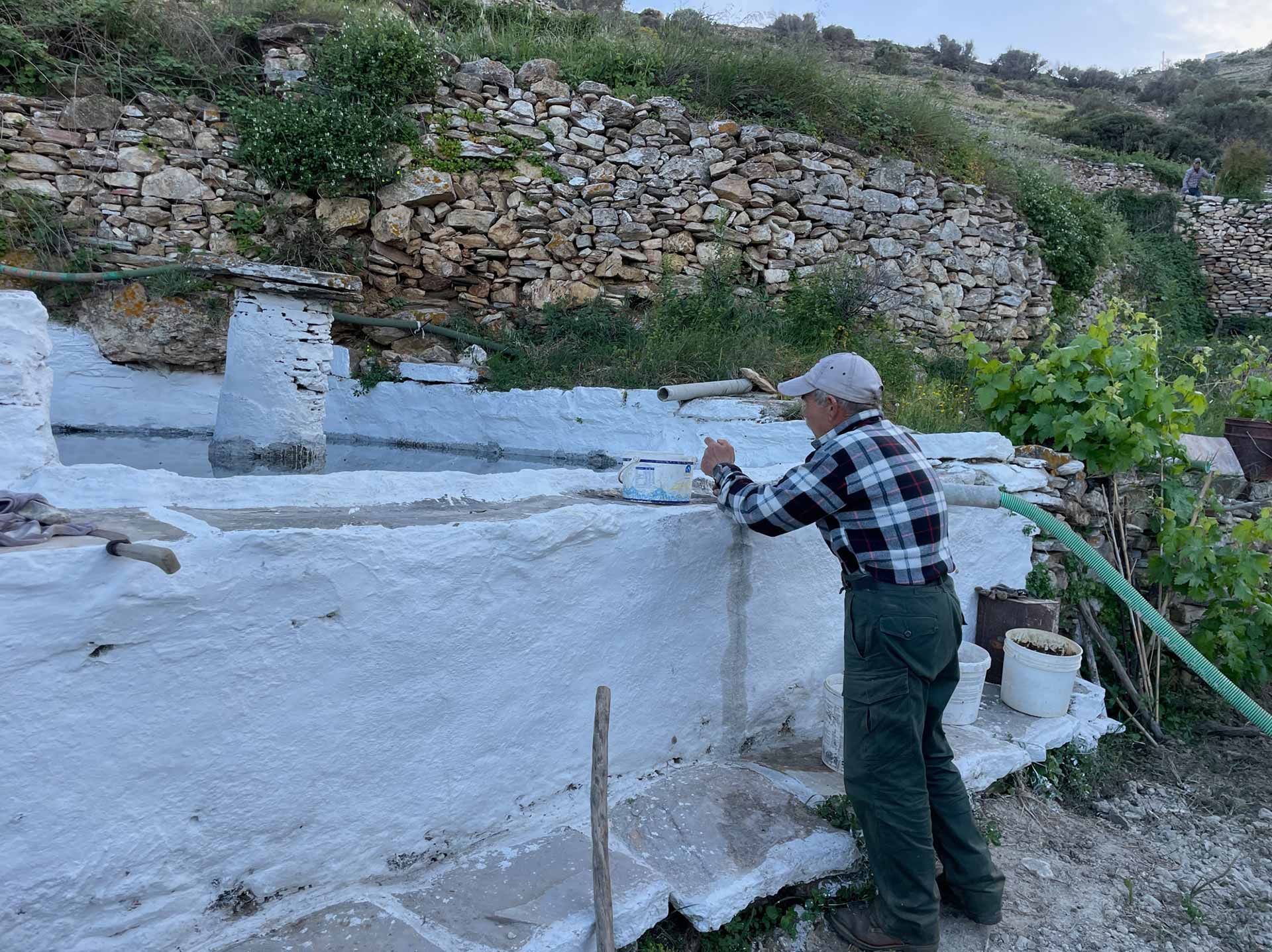
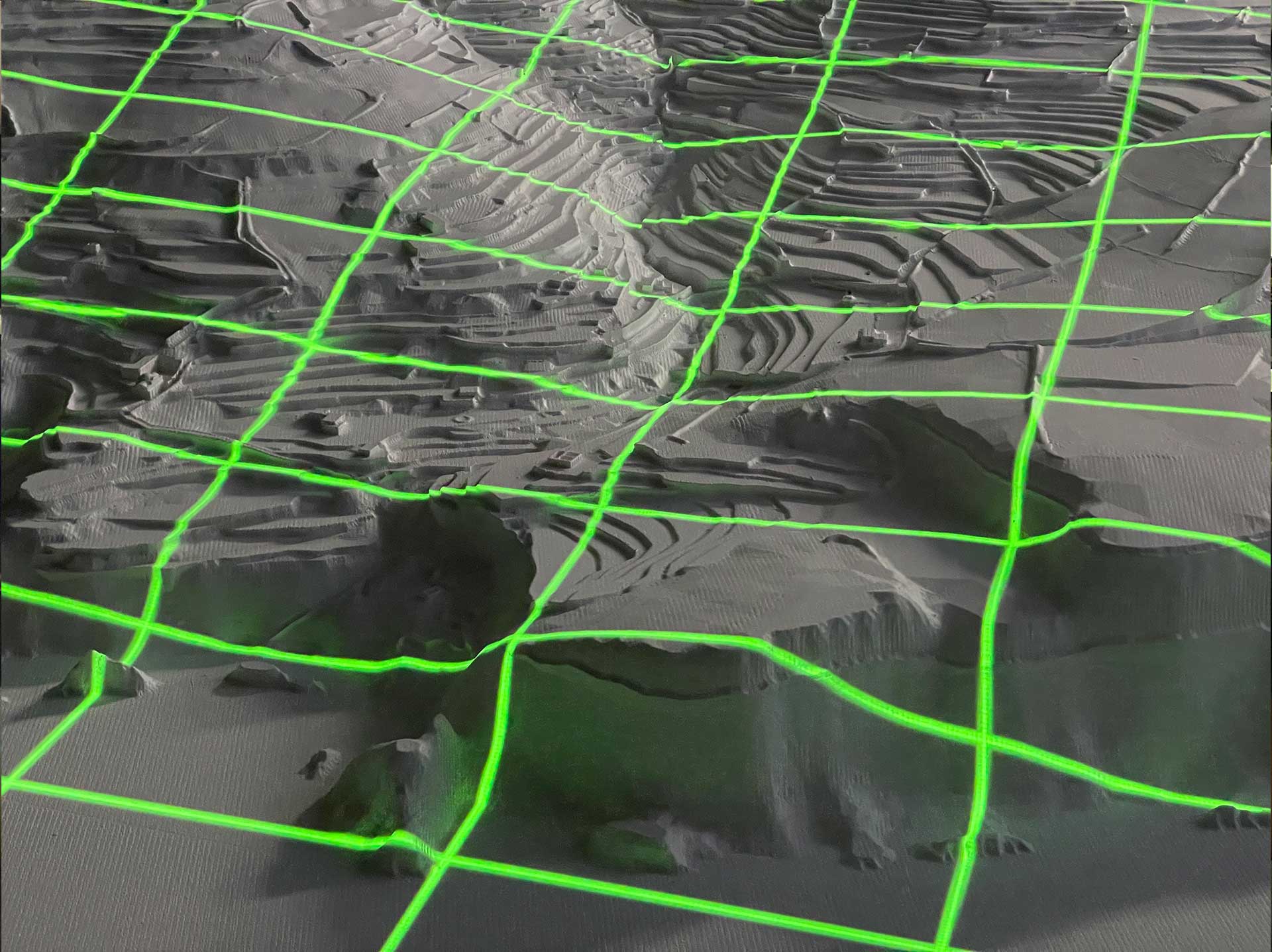
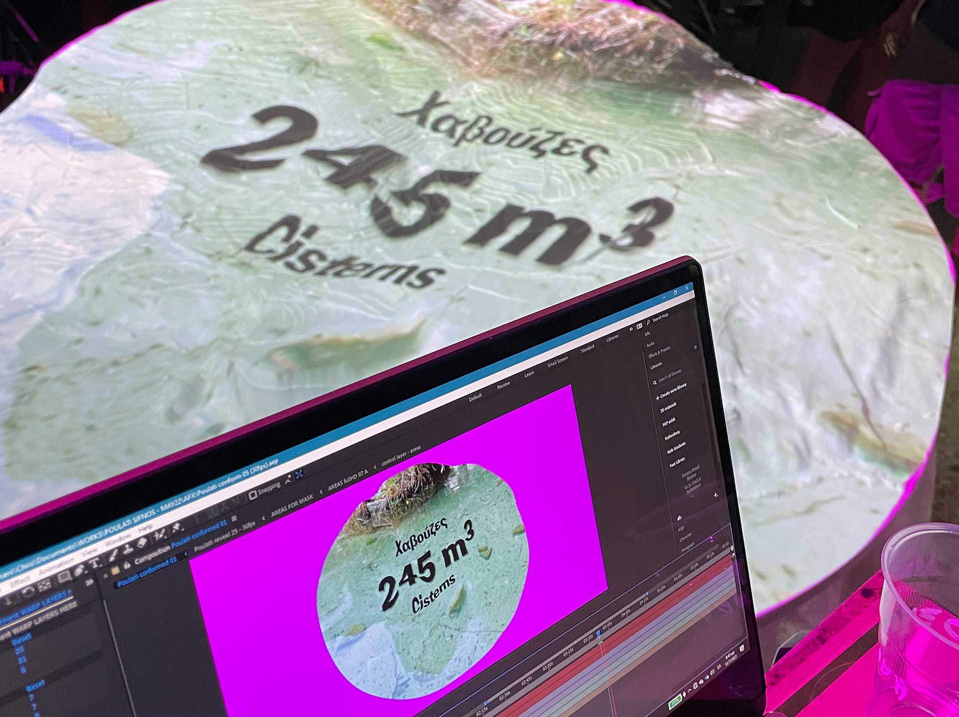
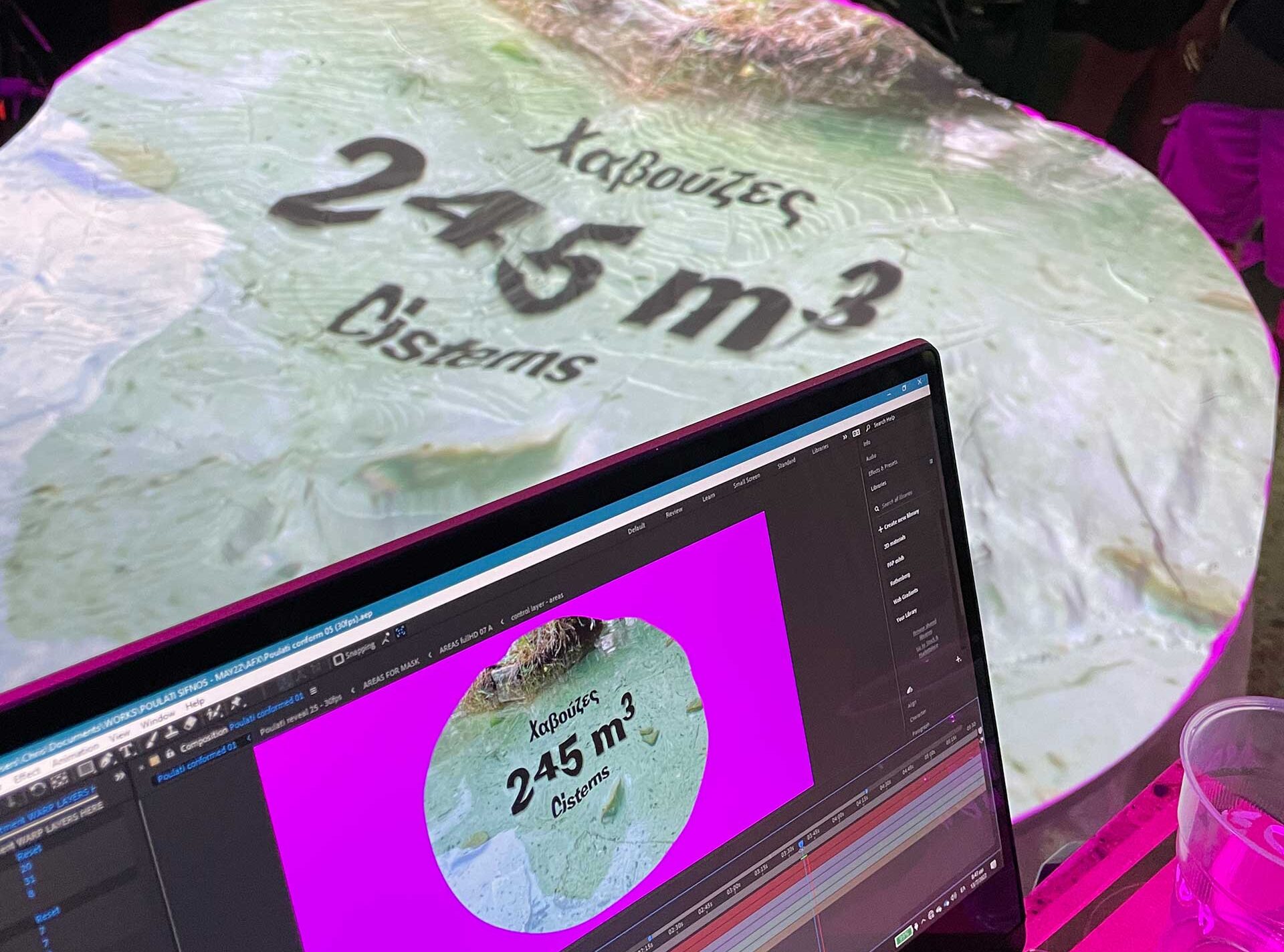
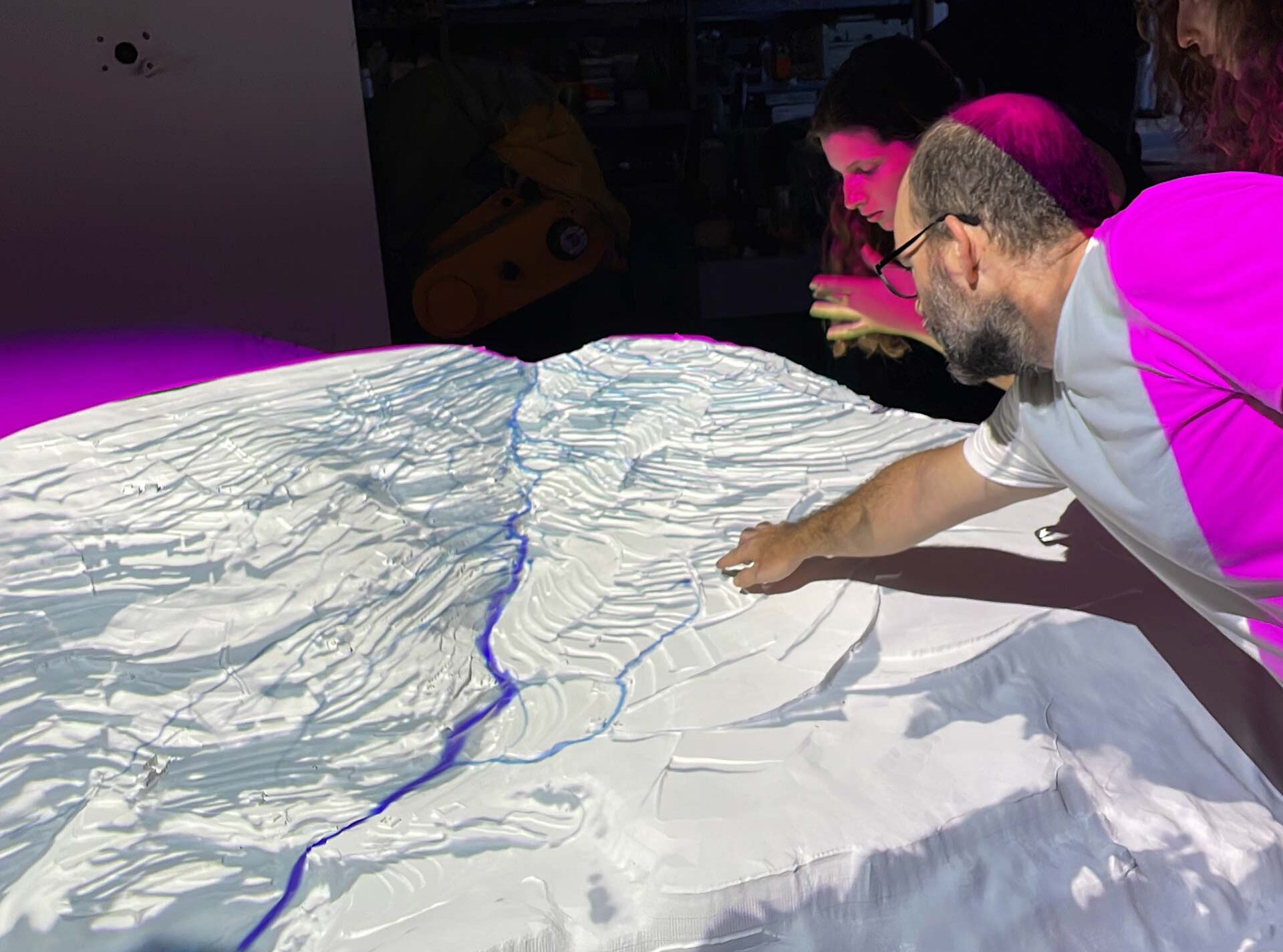
The first part deals with the past: It is an video animation that is projected onto a circular three dimensional model of the area. The video installation that tells a story about the area of Poulati, where an infrastructure of monumental scale was integrated seamlessly into the landscape, over hundreds of years.
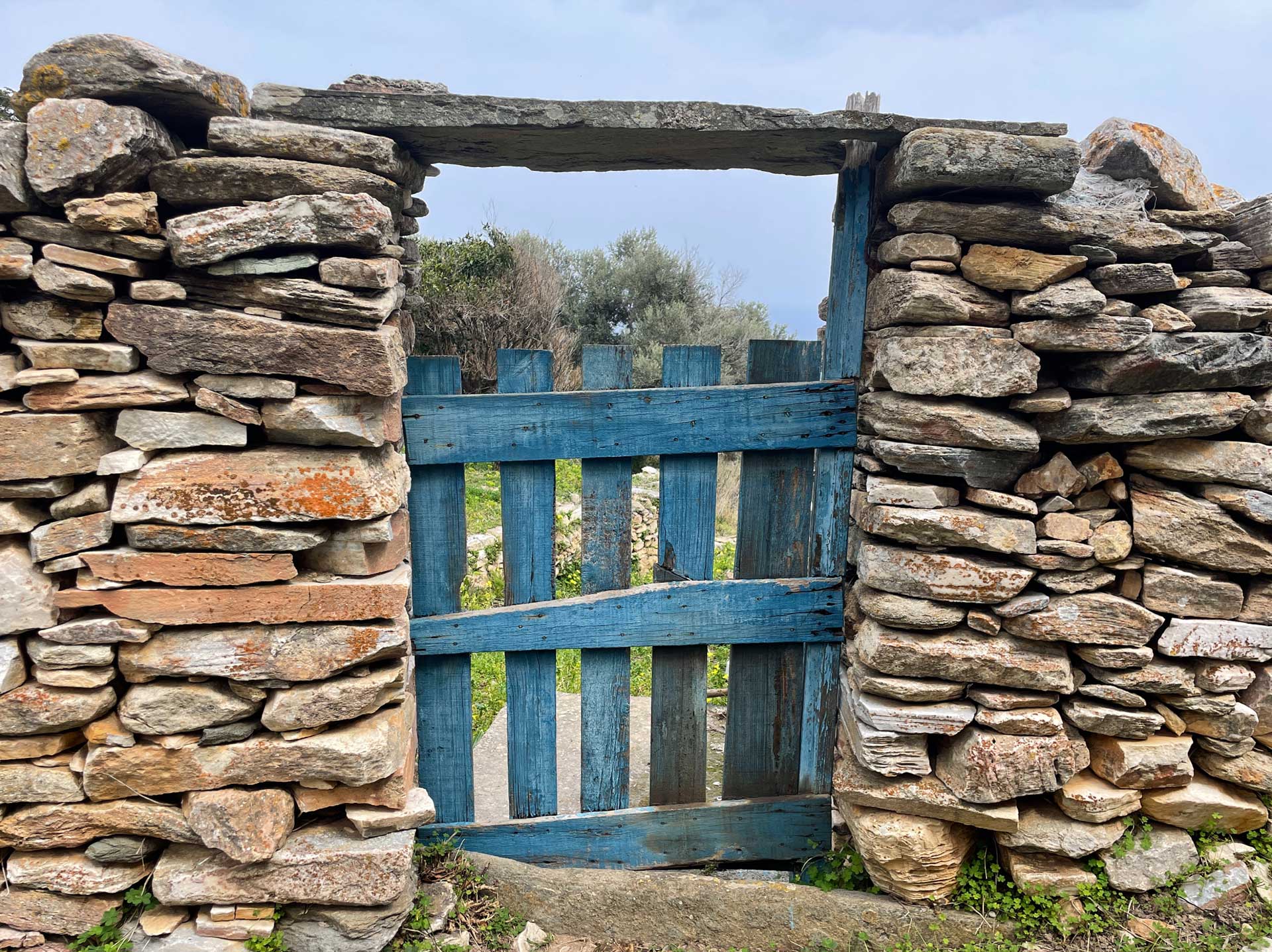
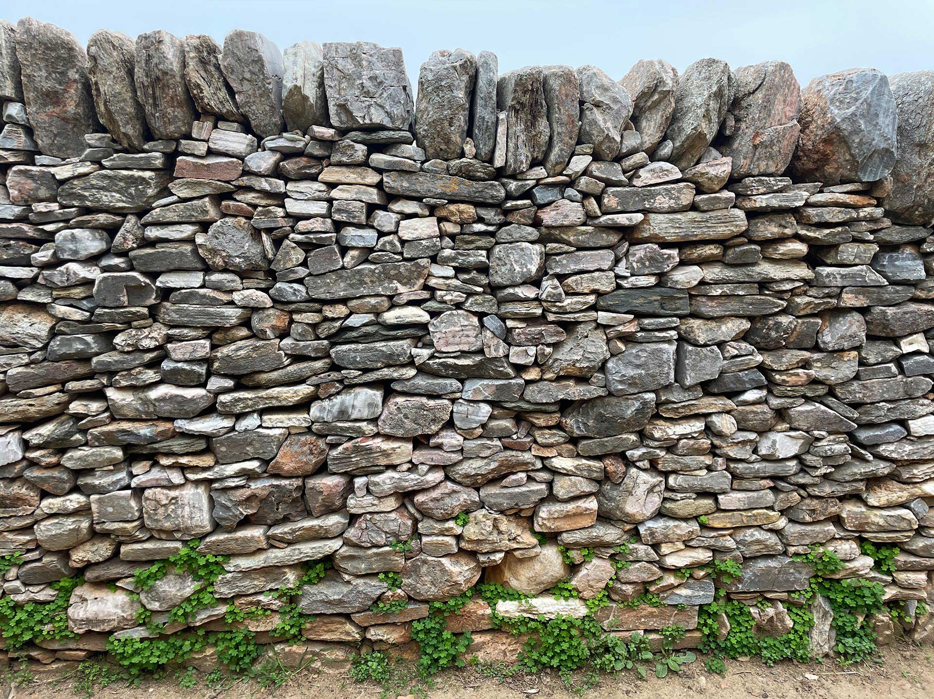
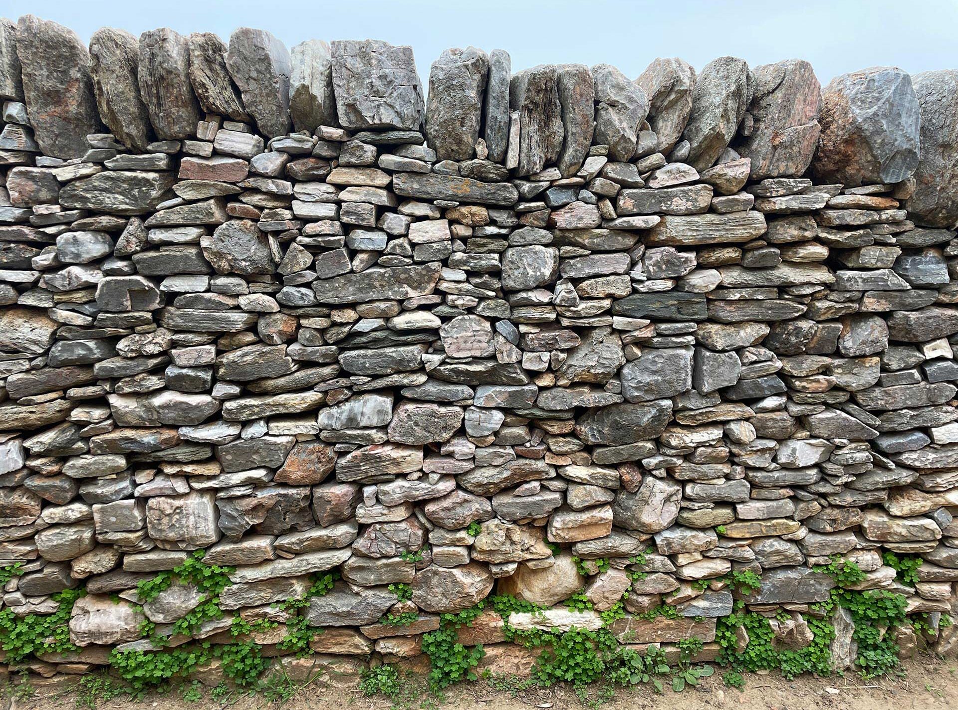
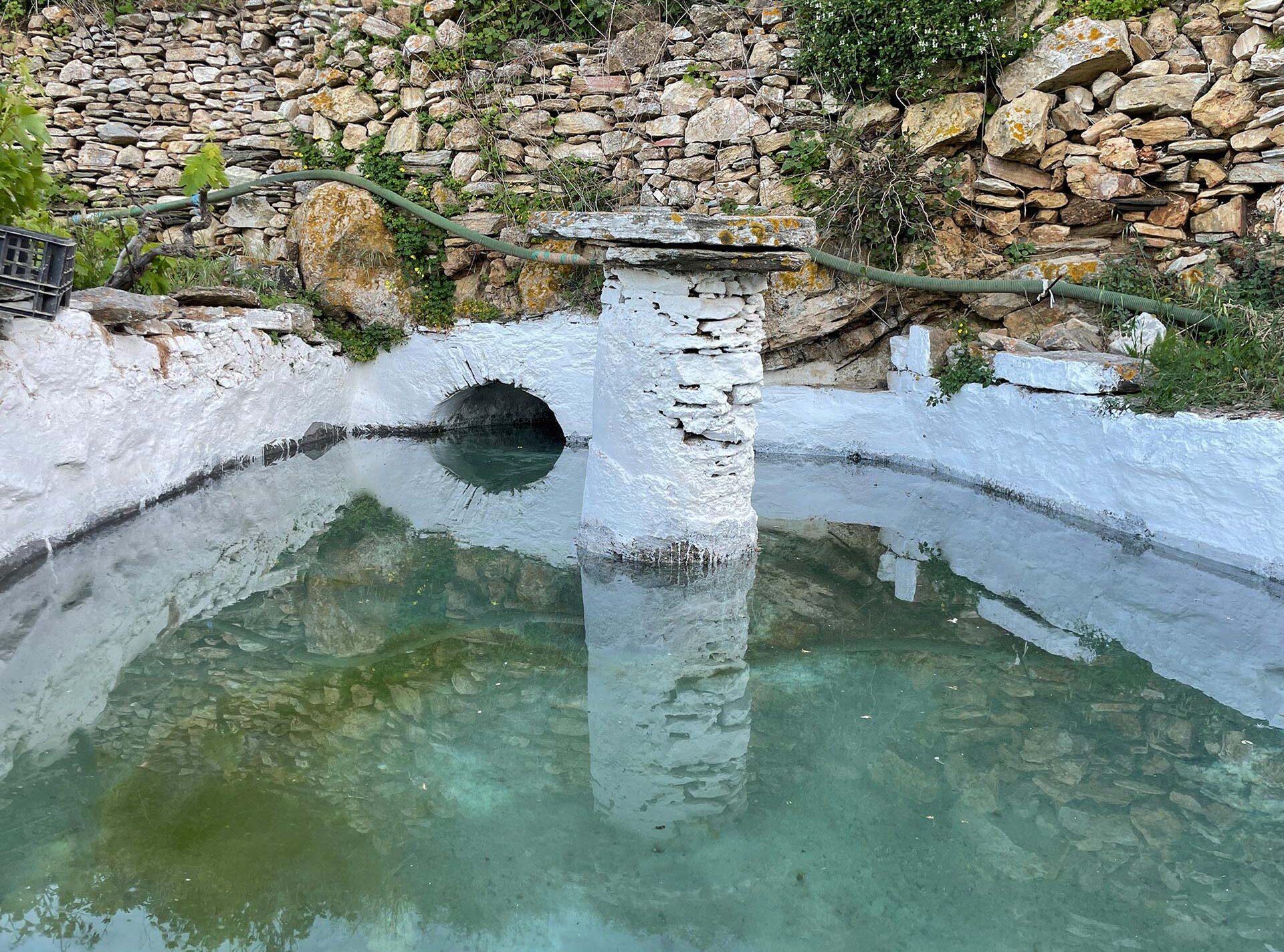
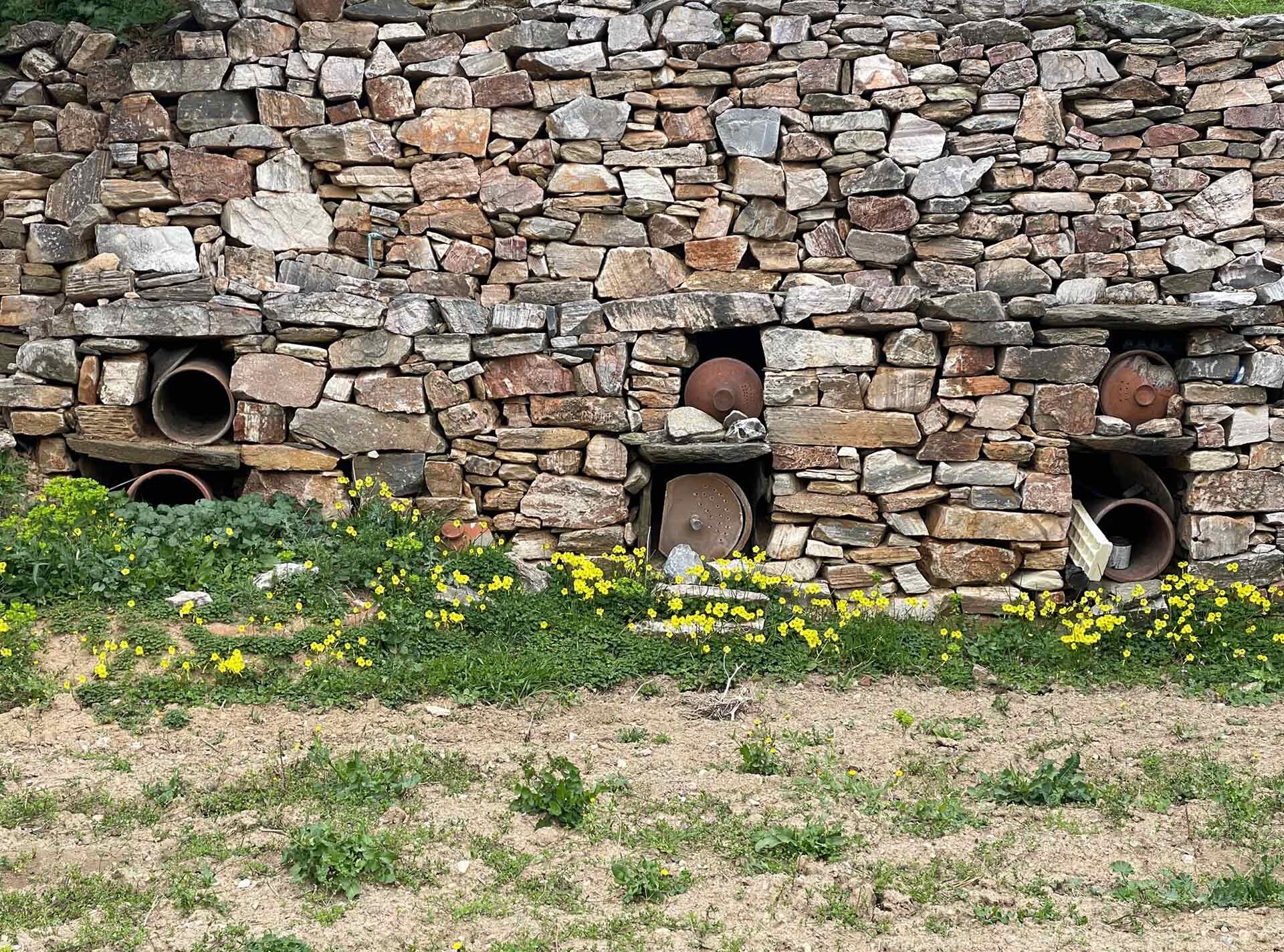
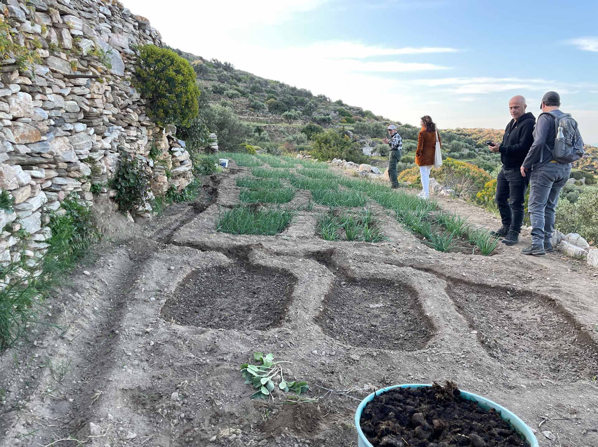
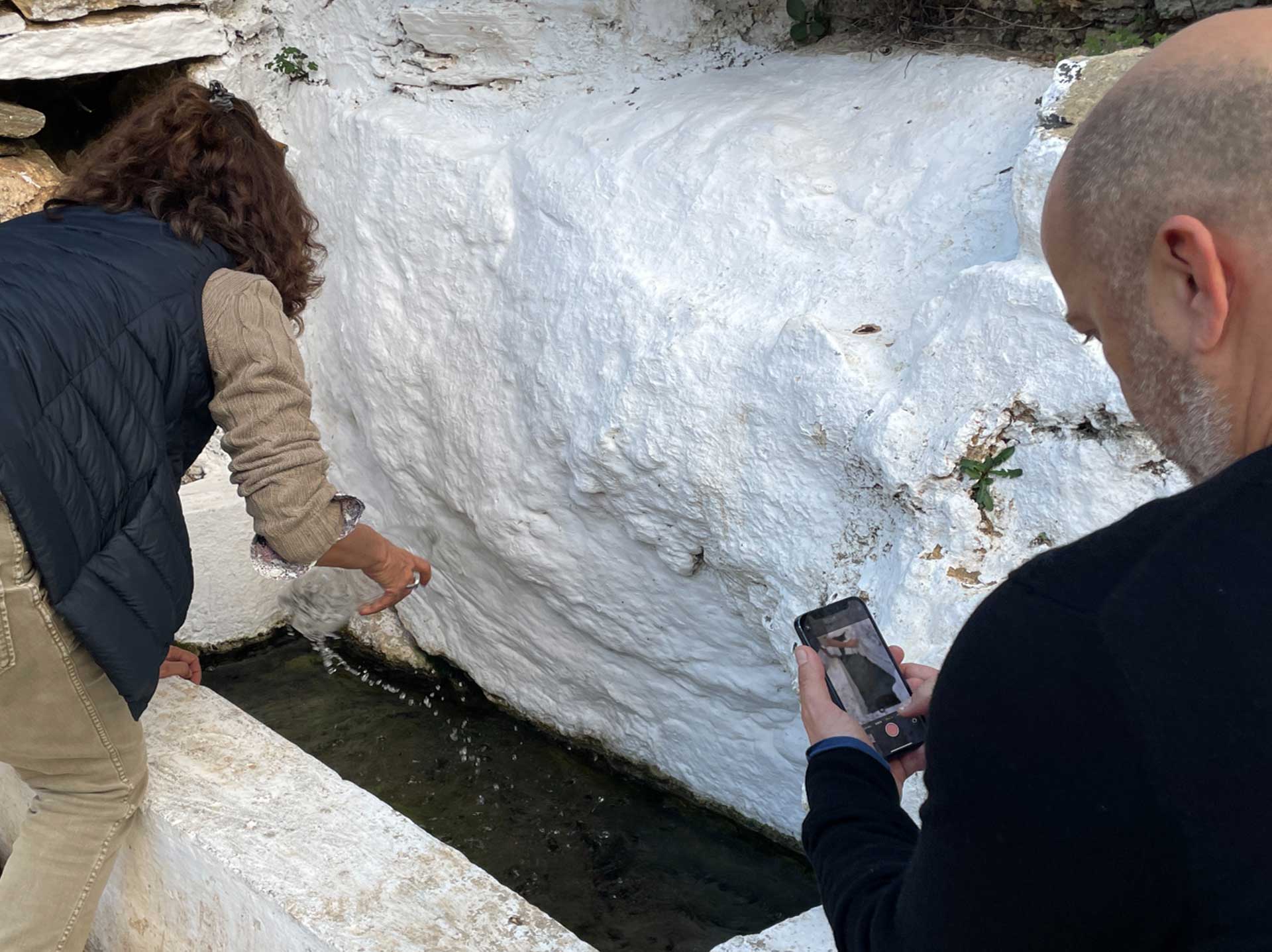
The infrastructure included extensive terracing with stone retaining walls, open-air cisterns and a network of irrigation channels. All of these elements were linked to the natural springs of Poulati. They contributed to the irrigation of a vast area, with minimal waste of water.
The cisterns were not covered, so everyone knew how much water was stored. Each plot of land was allotted the right to collect water by opening the stream between the spring and its cistern for 12 hours at designated days per week. This unit of measurement, called ’The Waters’, allowed the community to participate in the decision-making and to govern the distribution of water with transparency and fairness.
The landscape of Sifnos was primarily dedicated to agriculture in the past. It is currently transforming, under the pressure of tourism. The infrastructure of Poulati needs constant maintenance which is currently not being provided.
The intention of this installation is to document an important example of the vernacular water management traditions, before the unmaintained infrastructure disintegrates back into the land.
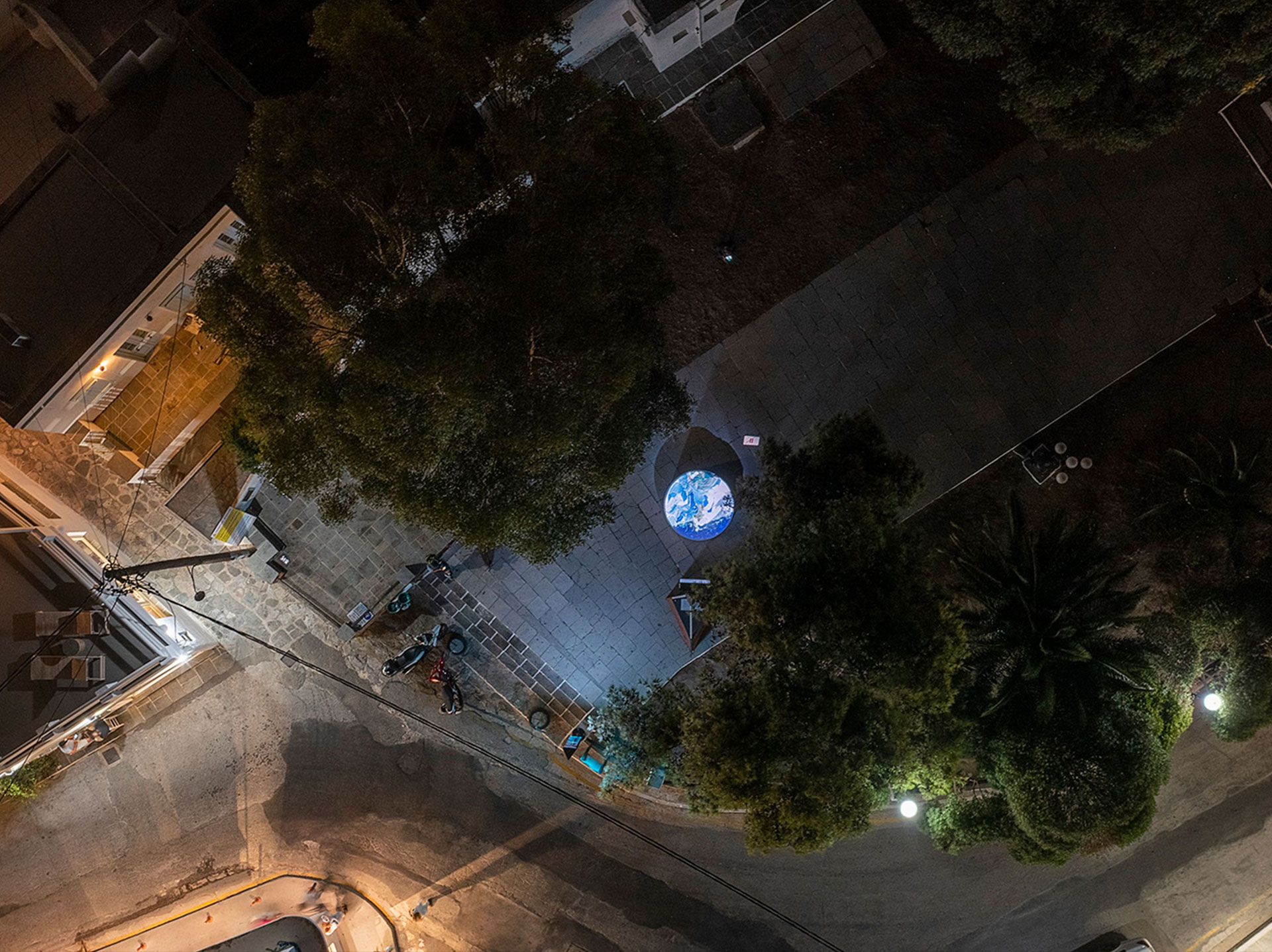
The installation: Part 2
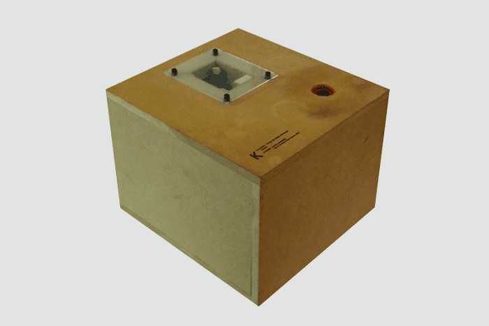
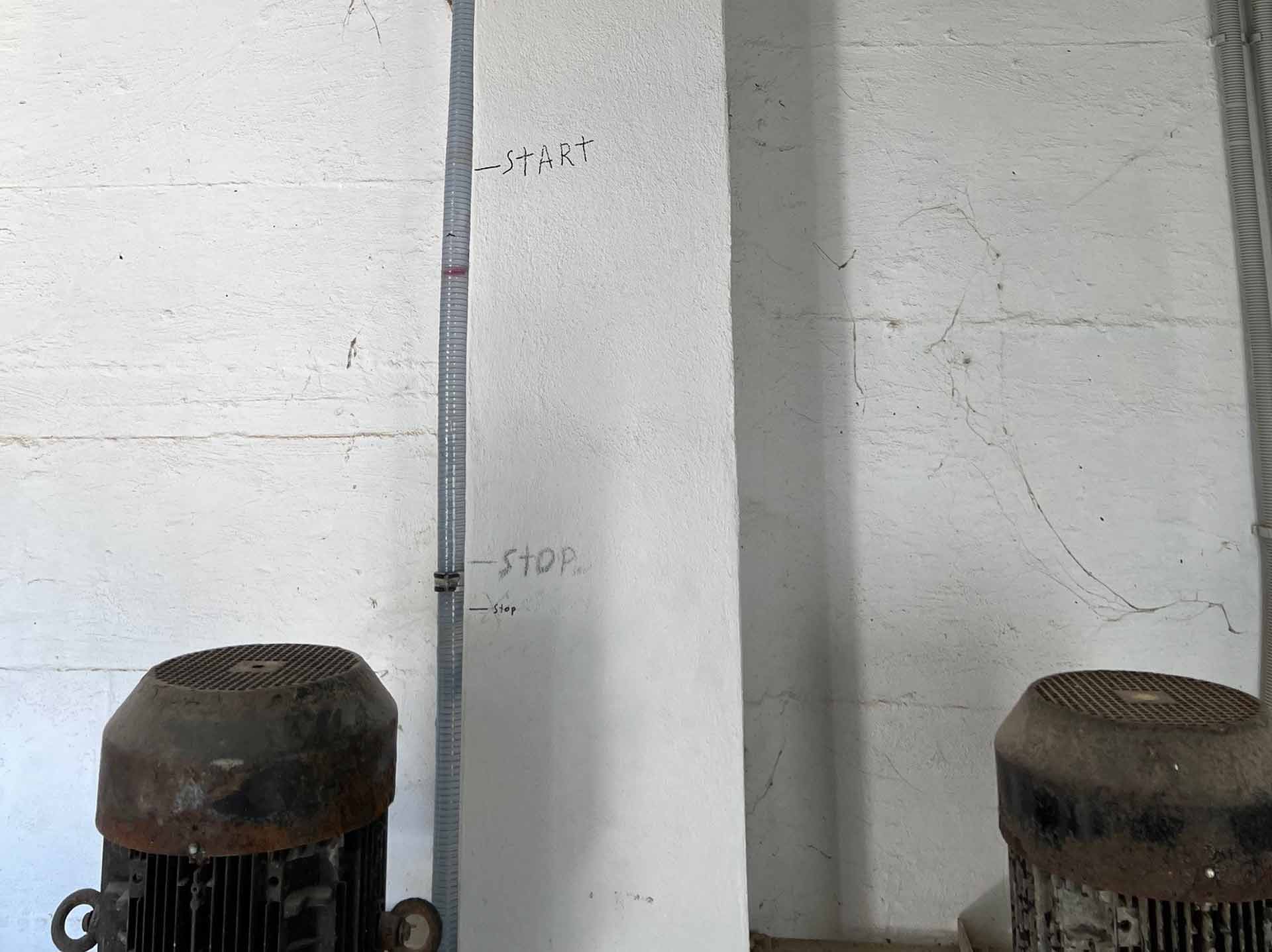
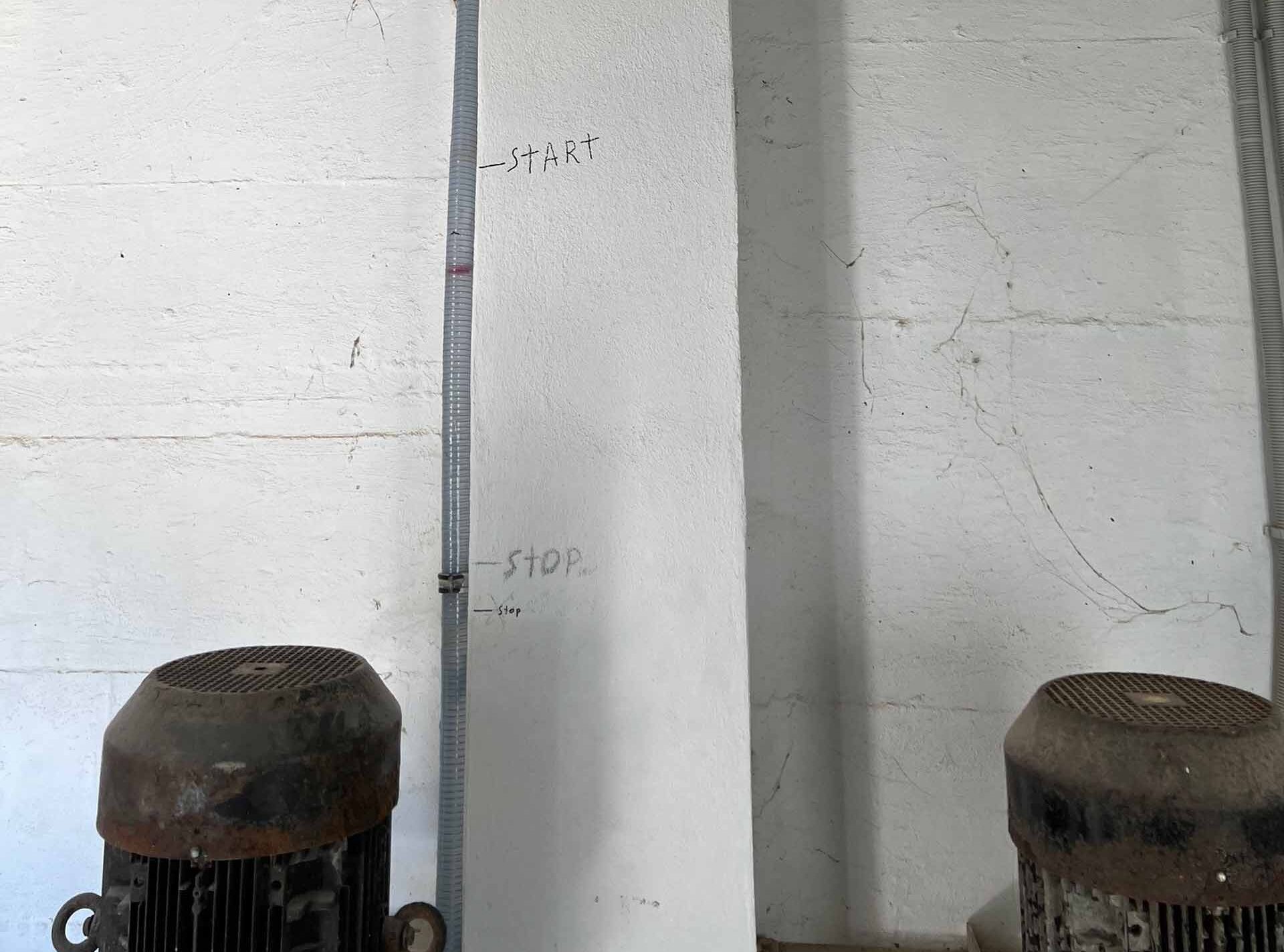
The second part deals with the present. It is a triangular electronic gauge, an electronic totem pole that shows how much water is available in the three primary water tanks of the island. The installation receives information every 30 minutes, directly from the municipal telemetry system, which measures the amount of water in each tank.
The installation is perceived as a digital version of the open air cisterns of Poulati, that allowed for a transparency in the monitoring of the water availability.
Under normal circumstances, the three tanks should be full at all times. But in the summer, when the demand for water is larger, their levels decrease faster than they can be filled.
The intention of the second installation is to provide a transparent understanding of the stresses that are being applied to the water network of the island. It aspires to provoke users to participate in the decision making for the management of water in an informed way and to create awareness on the climate emergency.
Credits